Vai al contenuto principale

#klamath

Train Mountain is the longest miniature railroad in the world, and it's free to visit. It's near Chiloquin, around 30 miles north of downtown Klamath

Altro...

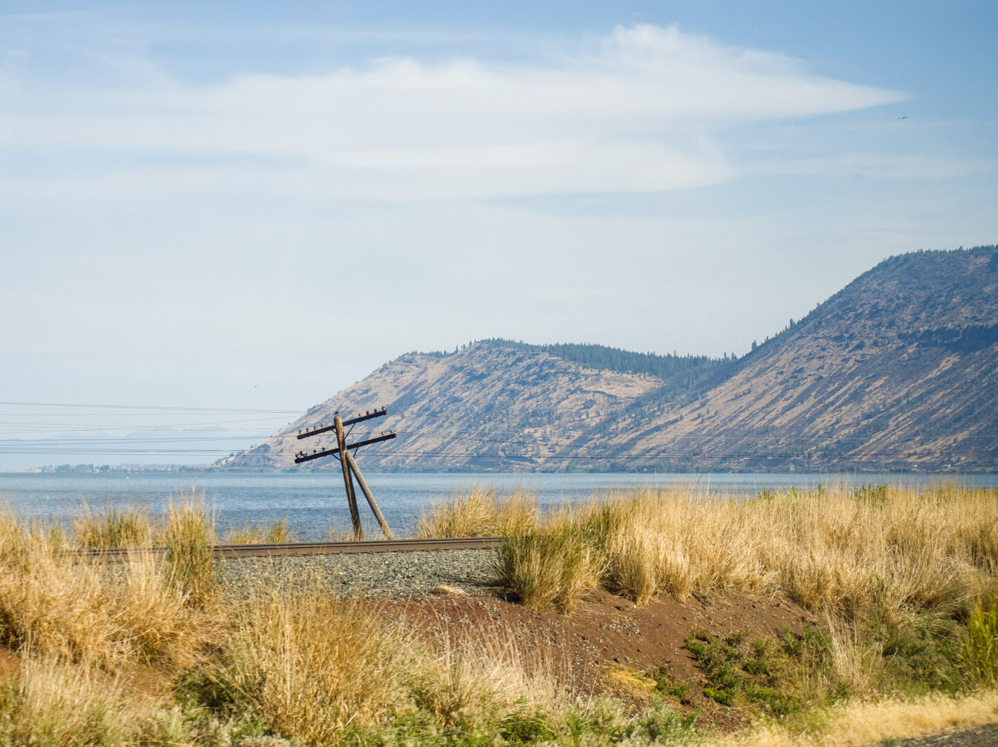
Train Mountain is the longest miniature railroad in the world, and it's free to visit. It's near Chiloquin, around 30 miles north of downtown Klamath Falls. The Klamath Tribes, with its tribal admin building in the reservation in Chiloquin, runs a free bus service that primarily serves tribal members in remote areas. I took this bus to Chiloquin, and then biked to Train Mountain. This is the view on highway 97 by Upper Klamath Lake next to Amtrak's route here.

After taking the last photo, I turned off my camera only to never turn it back on because the switch lever broke, probably because of dust buildup inside after riding gravel. So I only have iPhone photos at Train Mountain. This is my first time visiting a reservation, which is today very fragmented and only a few buildings. I got to ride one of the 1/8 scale miniature trains, and then I rode my gravel bike on the dirt roads to see Lillyville. It was quiet and mostly empty there. Should I visit again, I should go during their member meeting.

I wanted to repair my Olympus camera after returning to NYC, but official service for E-M5 Mark II had ended, and third party repair was too expensive. So RIP, my Olympus camera 😭 You have accompanied me to so many adventures since 2022, and have been through so many rough conditions. I'm sorry for not keeping you clean enough. You will be forever remembered by the thousands of photos I took.
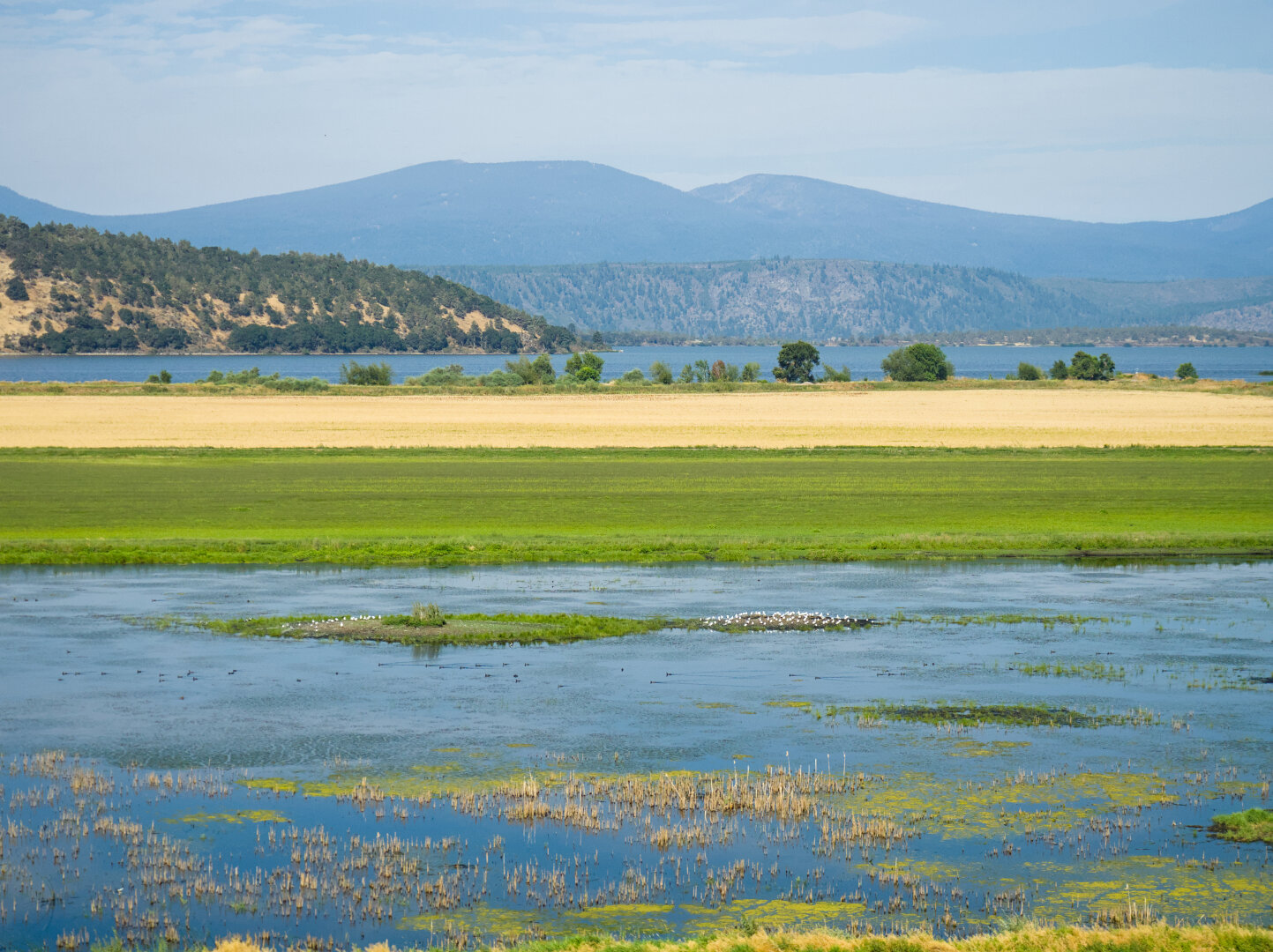
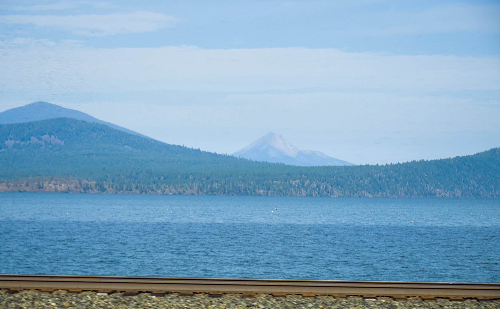
Shallow lake with wetland and a little island full of white birds, with mountains in the distance A nearer mountain by a vast lake, and a pointy volcano Mt McLoughlin in the distance. In the foreground is a railroad track and ballast Two mountains by a vast lake, with a railroad track in the midst of dry grass and a wooden power line pole in the foreground

#photography #landscape #darktable #railroad #wetland #cascades #klamath

0

Caricamento...

0
2

Caricamento...

Klamath Falls, USA

Back to Olene and Lost River, in a different light later in the afternoon.

Altro...

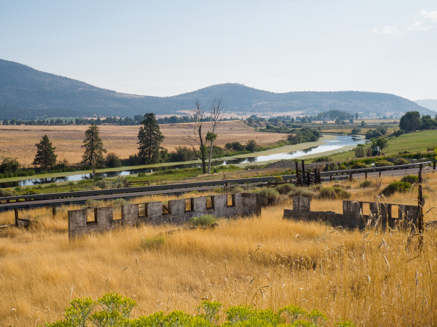
Back to Olene and Lost River, in a different light later in the afternoon.

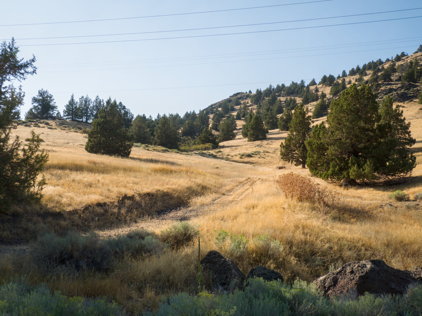
Looking down a hill covered by arid yellow grass with a gravel double track. Beneath the hill is a paved 2 lane road and a river. A small railroad bridge crosses this river. On the other side of the river is a greener hill. Looking up a hill covered by dry yellow grass and dotted by small trees. A double track leads up the hill in the foreground. Looking down a hill covered in dry yellow grass as the ruins of a small concrete building. Beneath the hill is road and a river. Across the river is a dry yellow field and some mountains.

#photography #landscape #darktable #gravel #ruins #river #gravelbike #oregon #gravelride #klamath

0

Caricamento...

0
2

Caricamento...

Klamath Falls, USA

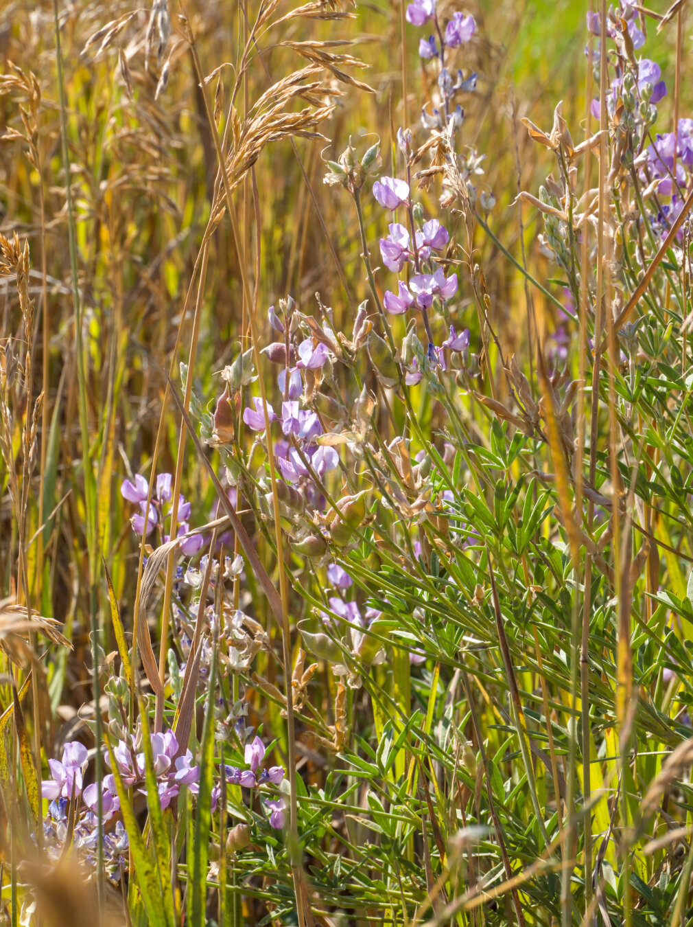
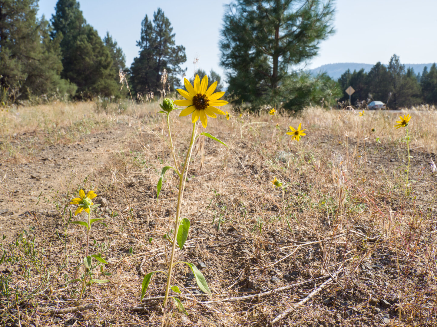
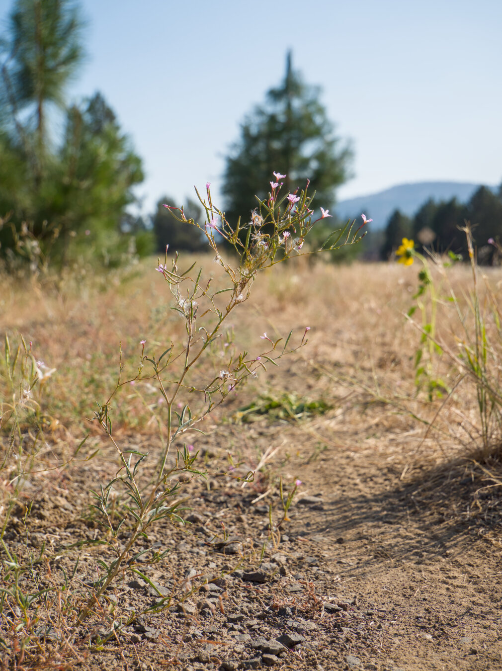
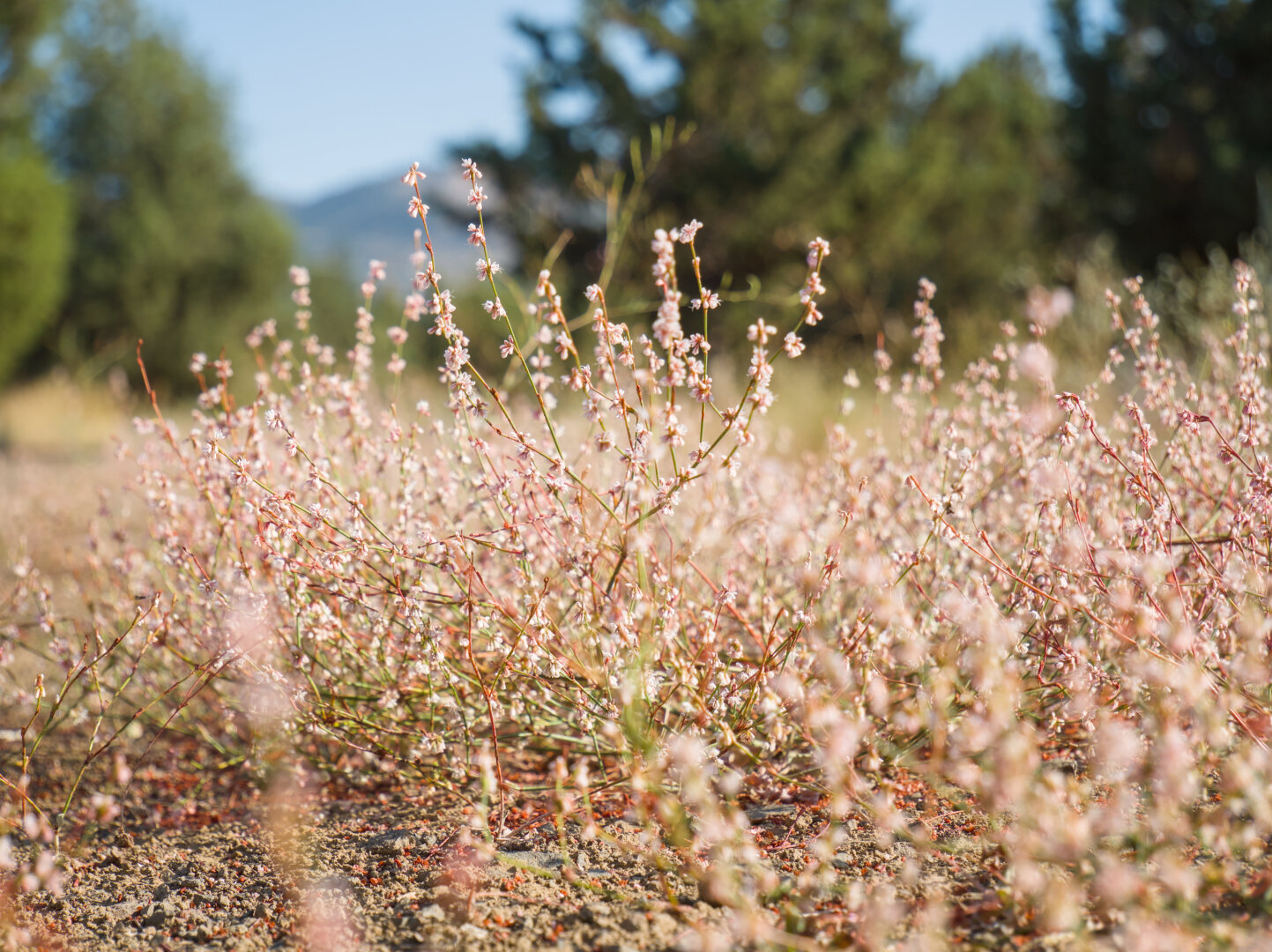
Trail-side flowers on the OC&E. I haven't seen arroyo lupines for a long time. The ones I saw here tend to be smaller than the ones I see in Californi

Altro...

Trail-side flowers on the OC&E. I haven't seen arroyo lupines for a long time. The ones I saw here tend to be smaller than the ones I see in California, probably because it's more arid here.

Strings of little purple flowers of arroyo lupine in the midst of yellow and green leaves A yellow sunflower in the middle of a gravel road, with trees in the distance Tiny pink flowers in the middle of a gravel road A dense patch of hundreds of tiny pink flowers on a gravel road

#photography #darktable #flowers #summerblooms #oregon #klamath

0

Caricamento...

0
2

Caricamento...

Klamath Falls, USA

View along the OC&E trail, on my way back to downtown Klamath Falls

Altro...

View along the OC&E trail, on my way back to downtown Klamath Falls

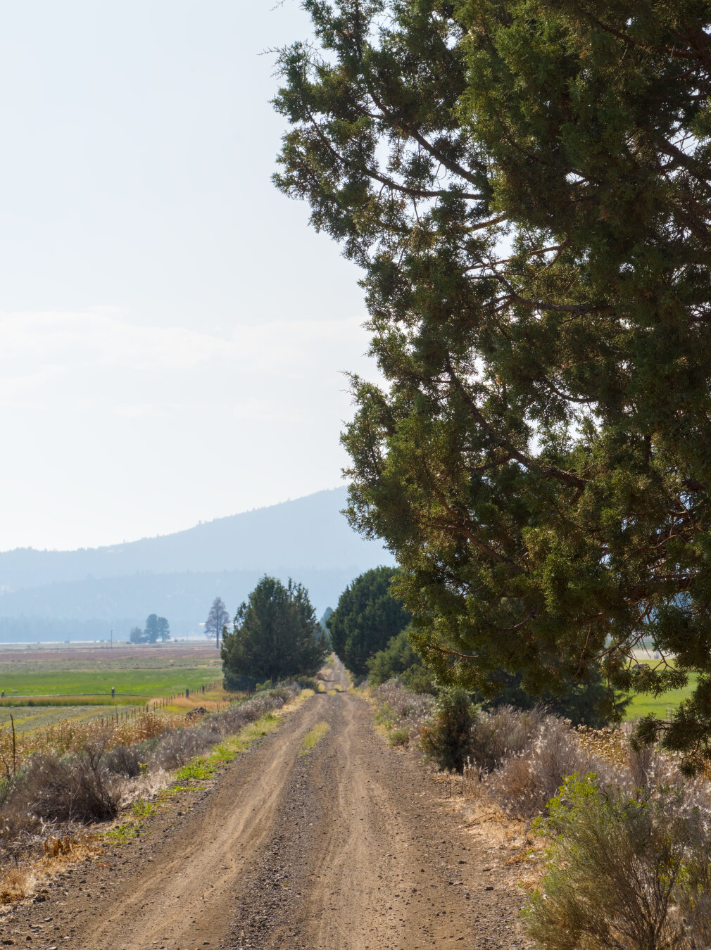
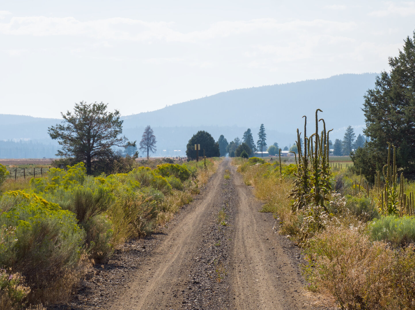
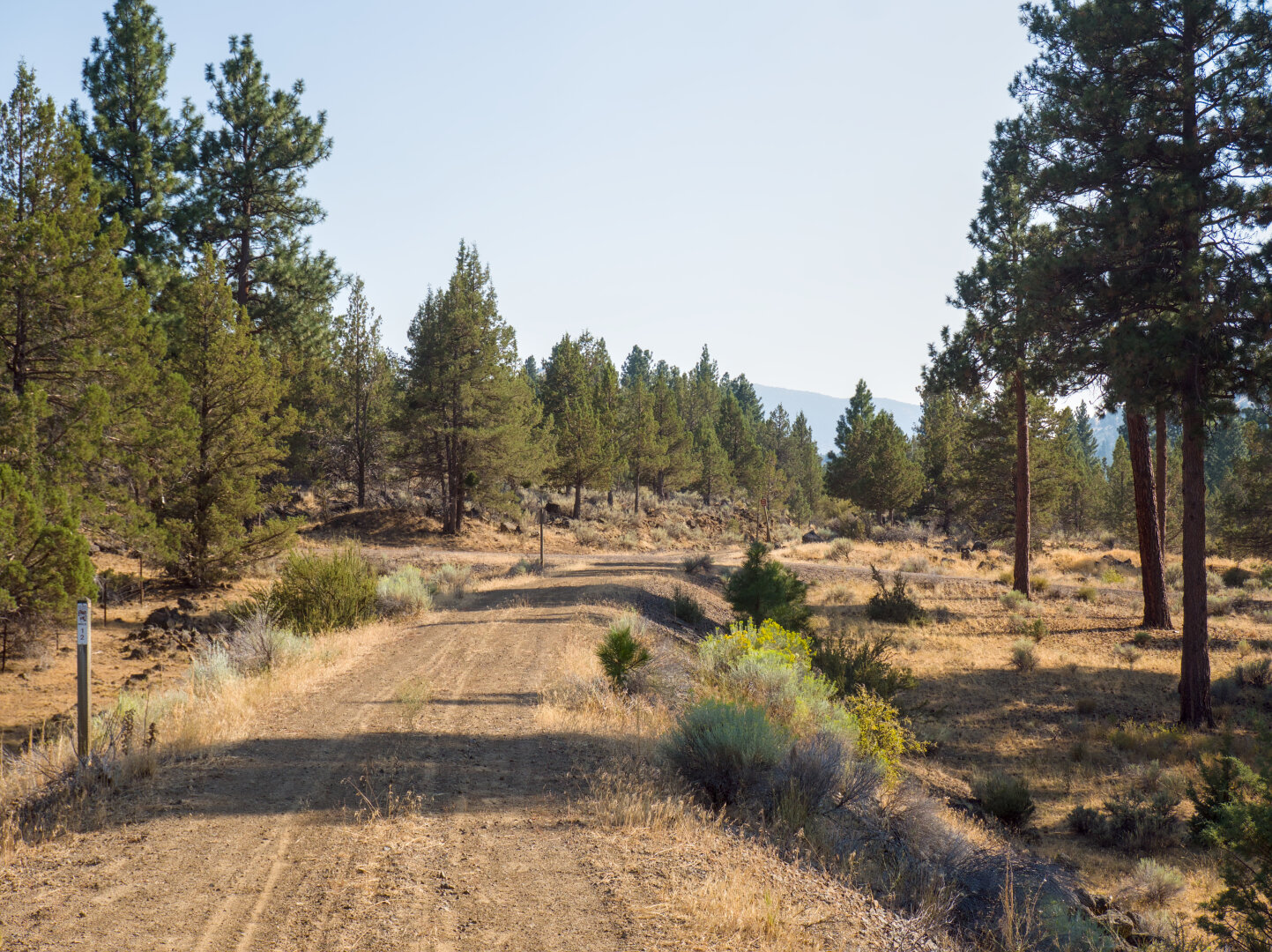
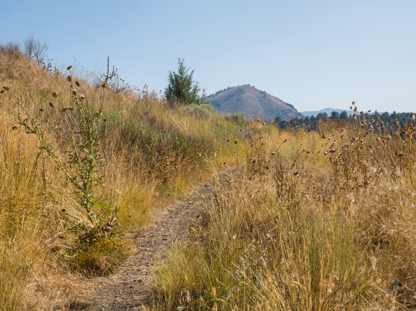
A tree towers over a rough gravel double track road through the farmland, leading to a hazy landscape. Trees by a gravel road appear layered in the hazy landscape. In the distance is the silhouette of a mountain. Gravel road passes through arid landscape with sparse trees and dry forest floor Single track through dry yellow grass going up a little hill

#photography #landscape #darktable #gravel #gravelbike #oregon #gravelride #klamath #railtrail

0

Caricamento...

0
2

Caricamento...

Klamath Falls, USA

Almost getting to central Dairy, my turnaround point. This place is called something like Swedish bend (forgot if "bend" is the right word), presumabl

Altro...

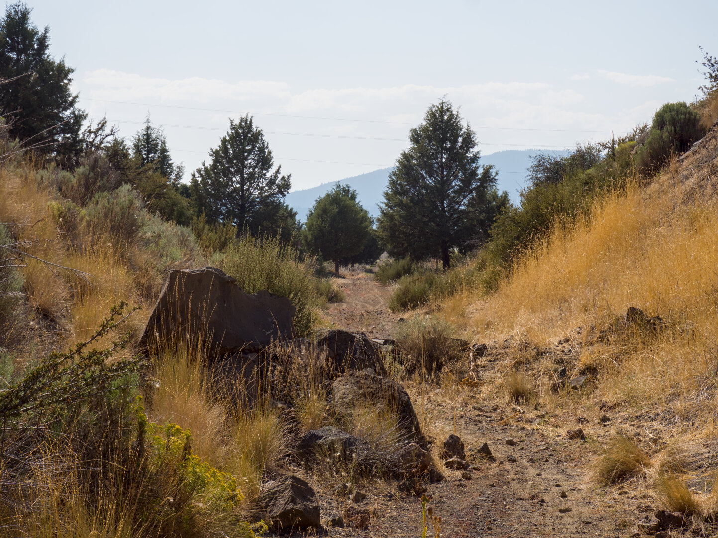
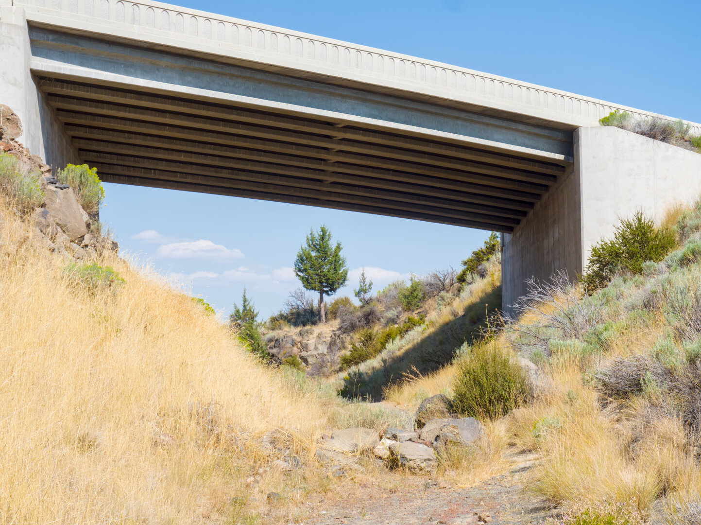
Almost getting to central Dairy, my turnaround point. This place is called something like Swedish bend (forgot if "bend" is the right word), presumably named after the Swedish workers who blasted through rocks to build this line here.

A little dirt trail partially blocked by rocks carves through a small valley, leading to some trees in the distance. A highway above a small carved valley frames a tree in the distance

#photography #landscape #darktable #gravel #gravelbike #oregon #gravelride #klamath

0

Caricamento...

0
2

Caricamento...

Klamath Falls, USA

As this trail was still railroad tracks in the 1980s, there are remnants of railway signs by the trail.

Altro...

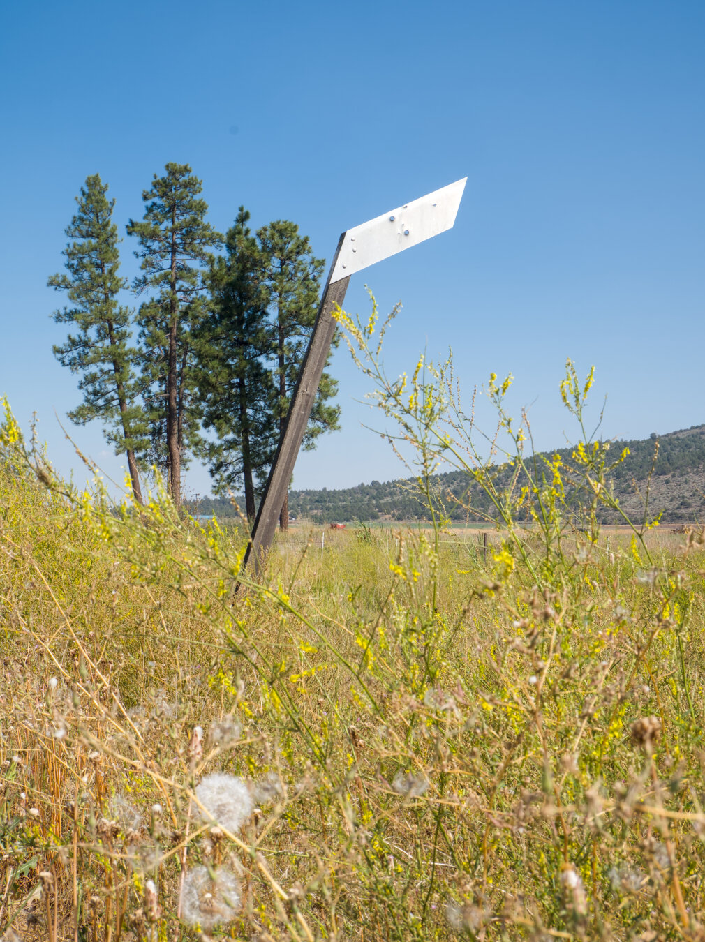
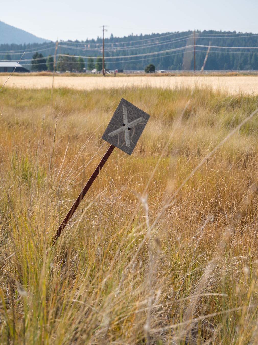
As this trail was still railroad tracks in the 1980s, there are remnants of railway signs by the trail.

A metal railway sign shaped like a slim parallelogram in the midst of grass, dandelions, and wildflowers. There are few trees in the background. An old grade crossing railway sign shaped like a large metal rectangle with an "X" in it leans over in the grass

#photography #landscape #darktable #gravel #gravelbike #oregon #gravelride #klamath #railtrail

0

Caricamento...

0
2

Caricamento...

Klamath Falls, USA

There's a short stretch of the trail that is very overgrown around the intersection with highway 140. I rode the trail out and back to Dairy. On my wa

Altro...

There's a short stretch of the trail that is very overgrown around the intersection with highway 140. I rode the trail out and back to Dairy. On my way to Dairy, I got so frustrated by the vegetation that I rode highway 140 for a mile to bypass it, not knowing how long the overgrown part is. I thought about returning to downtown Klamath Falls right away if it's too long. On my way back, I rode through the overgrown part, only to find that it's pretty short.

A dirt trail with overgrown tall yellow grass that make the trail difficult to pass. There are tall trees on both sides of the trail.

#photography #landscape #outdoors #darktable #gravel #oregon #klamath #railtrail

0

Caricamento...

0
2

Caricamento...

Klamath Falls, USA

Here's where the OC&E gravel begins, Olene. The upper river is B Canal, and the lower one is Lost River (see Battle of Lost River: https://en.wikipedi

Altro...

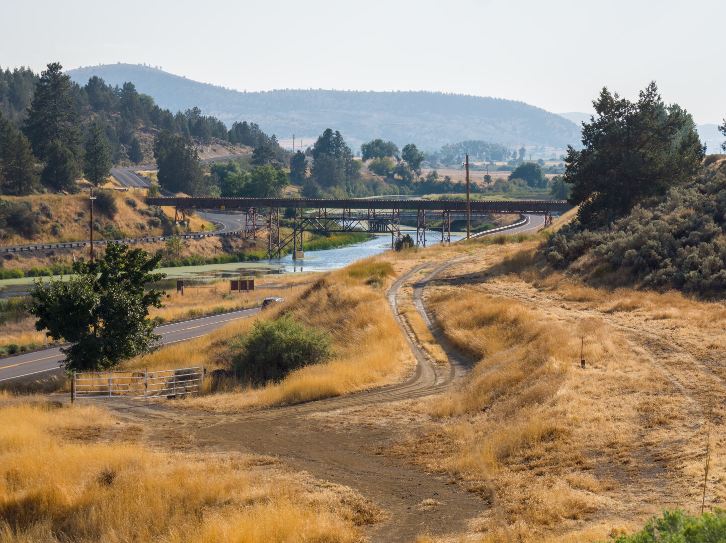
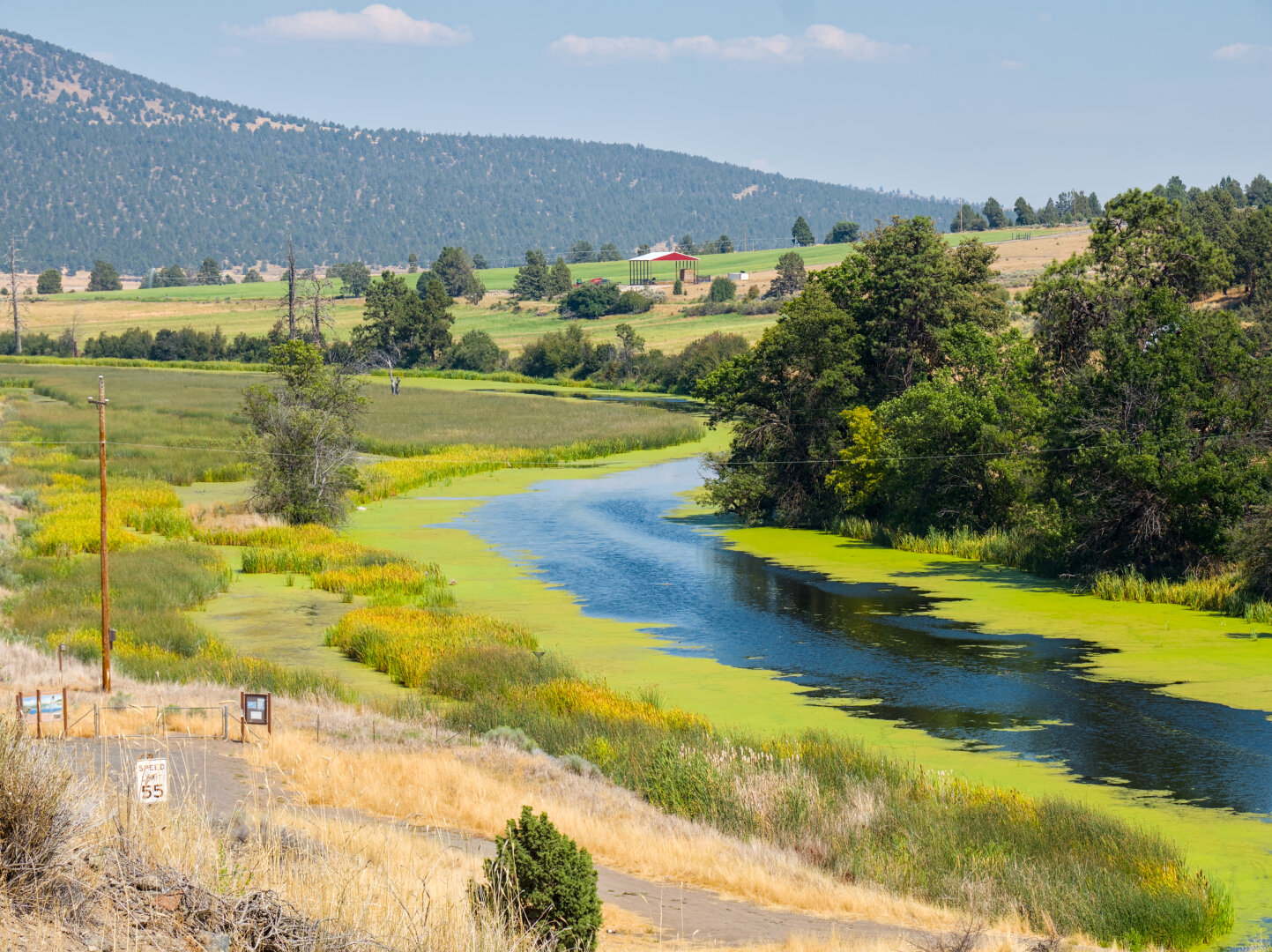
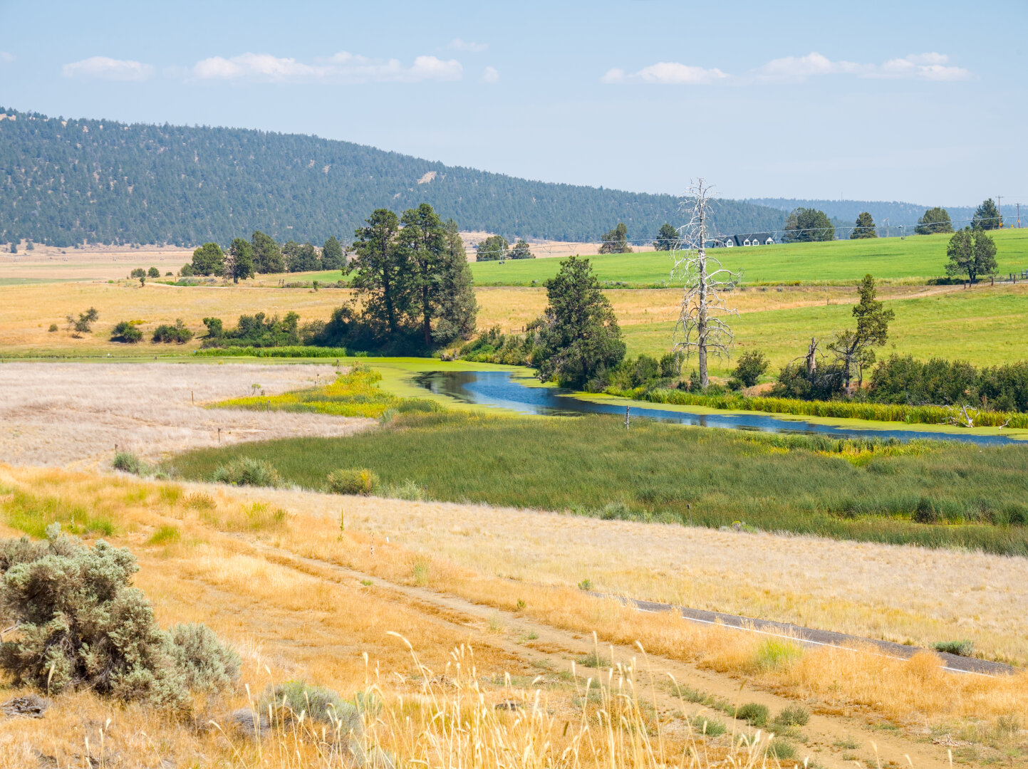
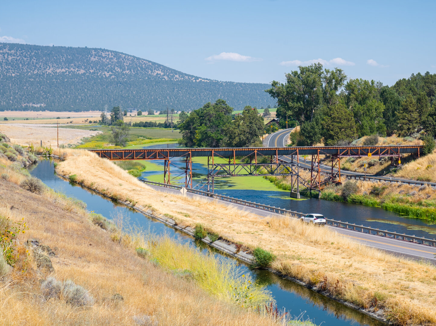
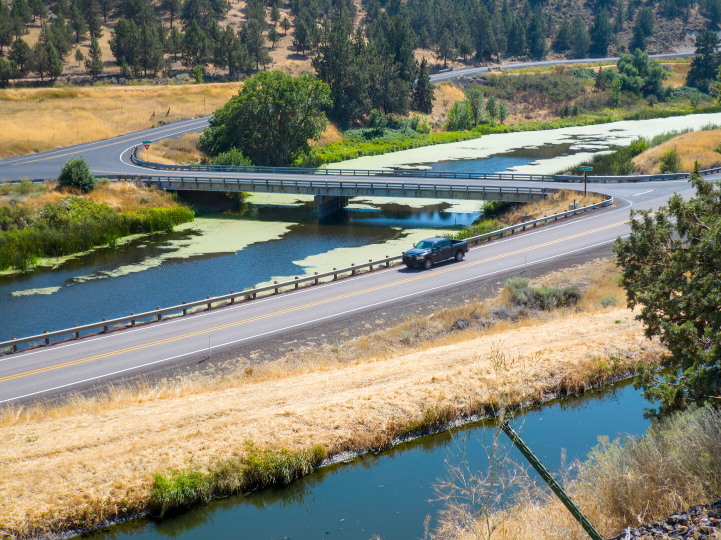
Here's where the OC&E gravel begins, Olene. The upper river is B Canal, and the lower one is Lost River (see Battle of Lost River: https://en.wikipedia.org/wiki/Battle_of_Lost_River)

A narrow canal somewhat above a wider natural rider in an arid landscape; the river has some green algae and there's a small railroad bridge over the river. On the other side of the river is a small paved road between some trees. In the distance is a mountain covered in trees. Looking down at the canal and the river, showing 2 lane roads on both sides of the river. There's a road bridge across the river. A black pickup truck is traveling on the road on my side of the river.

#photography #landscape #darktable #river #oregon #klamath #railtrail

0

Caricamento...

0
2

Caricamento...

I hit one of those gaps in the pavement every 10 meters or so, so annoying. There's a little irrigation channel by the trail, branched off from B Cana

Altro...

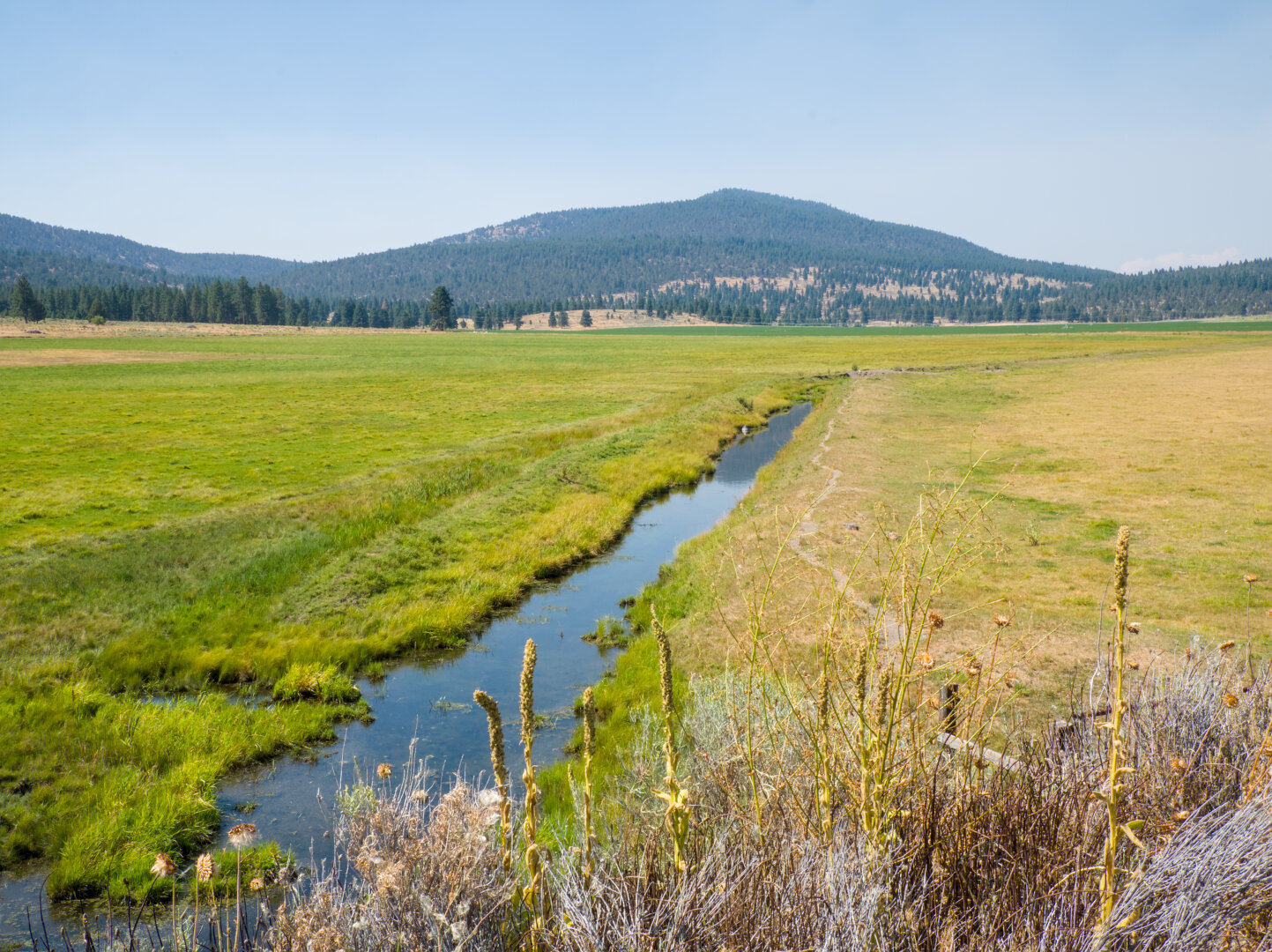
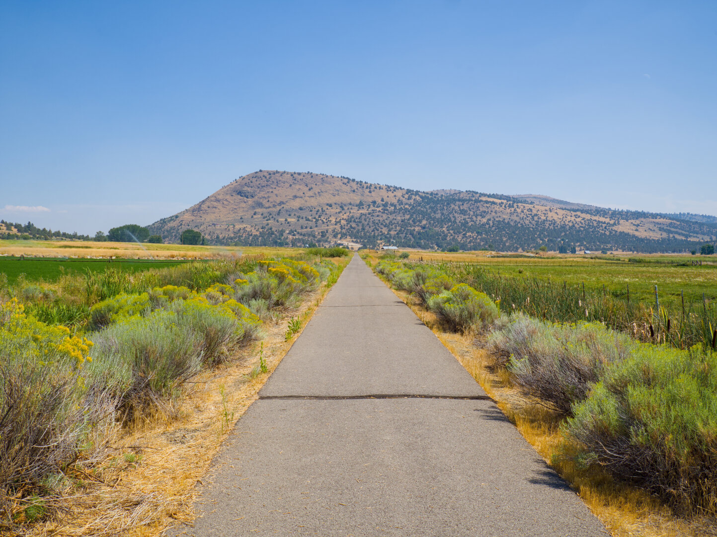
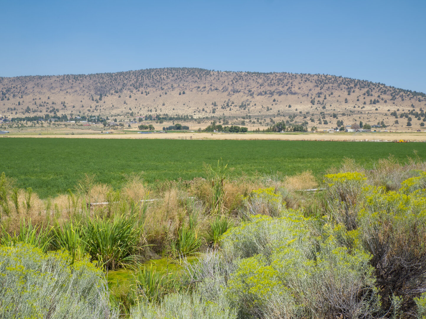
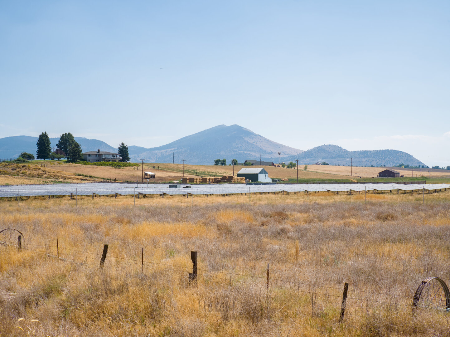
I hit one of those gaps in the pavement every 10 meters or so, so annoying. There's a little irrigation channel by the trail, branched off from B Canal. What is grown in the field? I guess alfalfa. That's it for photos from the paved part of the trail. I'll post photos from the gravel part tomorrow.

A paved trail with a gap across leads to a mountain in the distance. By the trail are short plants with pale green leaves and little yellow flowers, and a green field. Looking across the little channel filled with green algae at the green field and arid yellow mountain in the distance

#photography #landscape #darktable #cycling #oregon #farmland #klamath #railtrail

0

Caricamento...

0
2

Caricamento...

Pine Grove, USA

Where the canal trail meets the OC&E woods line rail trail. The OC&E trail is over 100 miles long. It stands for Oregon, California, and Eastern, and

Altro...

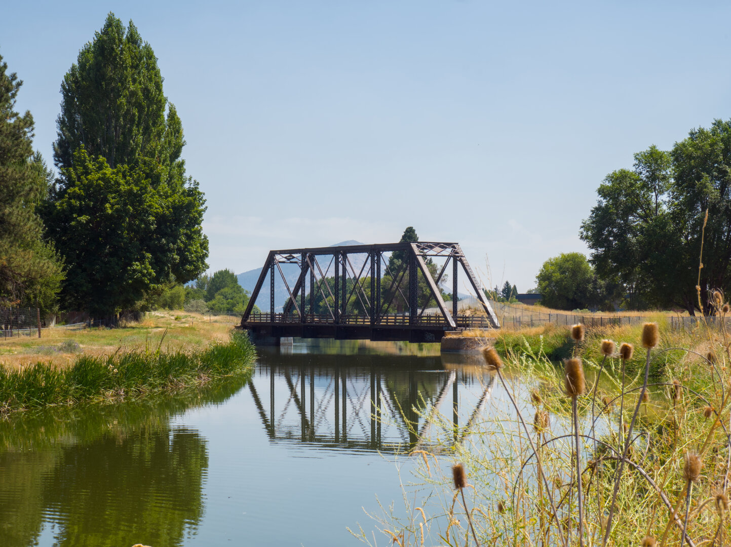
Where the canal trail meets the OC&E woods line rail trail. The OC&E trail is over 100 miles long. It stands for Oregon, California, and Eastern, and was used to transport timber. From Klamath Falls to Olene, it's paved, and the rest is gravel. I turned around at Dairy because the trail was closed due to a nearby wildfire.

A small steel truss railroad bridge crosses a calm canal. The canal reflects the bridge and the taller trees around it.

#photography #landscape #darktable #canal #oregon #klamath #railtrail

0

Caricamento...

0
2

Caricamento...

Klamath Falls, USA

After Link River, I rode the trail on A Canal to get to OC&E. There are many of these canals here from the Klamath Project in the 1900s to "reclaim" l

Altro...

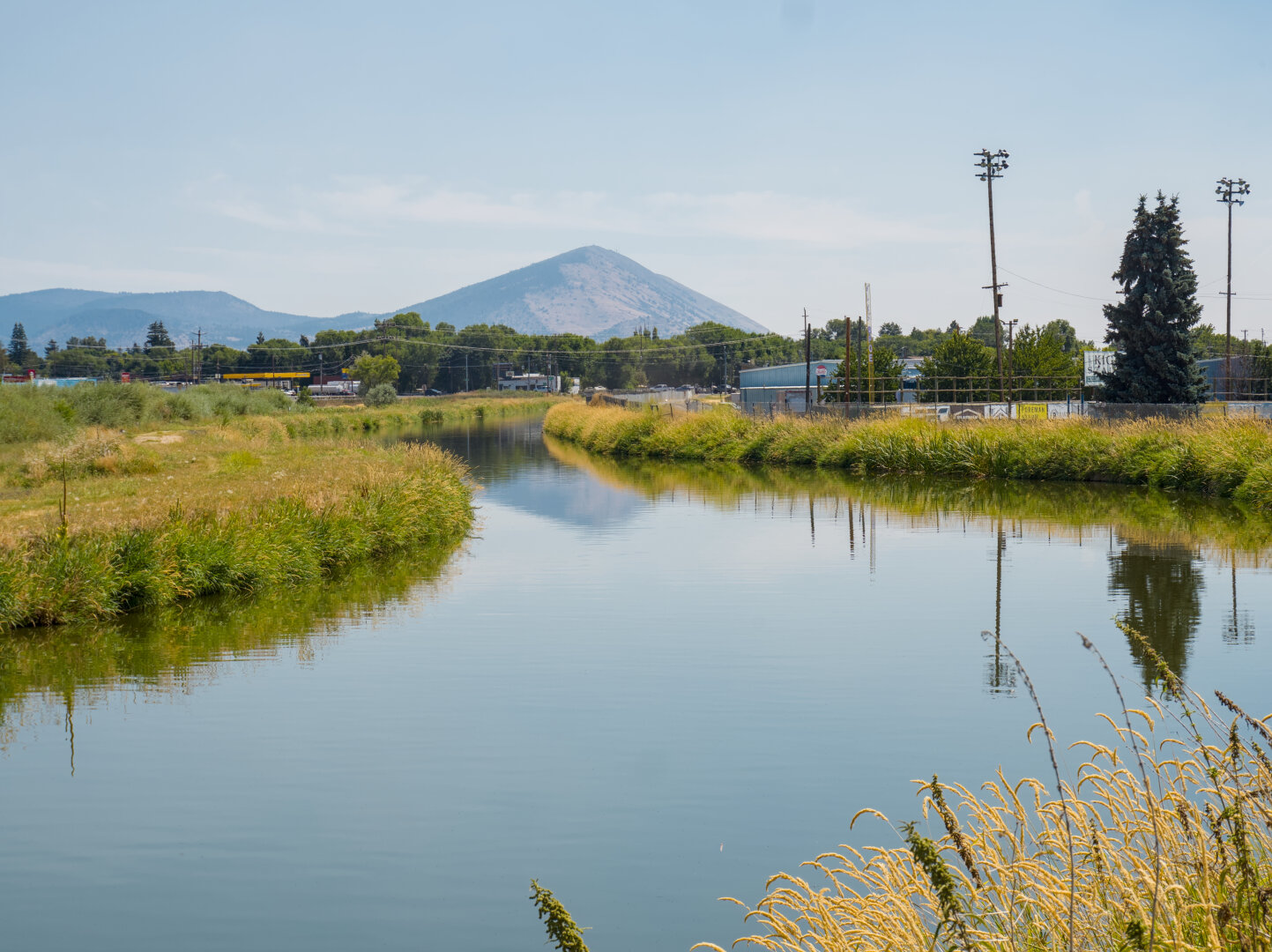
After Link River, I rode the trail on A Canal to get to OC&E. There are many of these canals here from the Klamath Project in the 1900s to "reclaim" land from wetlands and lakes and to irrigate the farms on the "reclaimed" land. So the following few photos will show these farmlands.

A wide and calm canal is flanked by mostly yellow grass, leading to a rounded mountains in the distance. The mountain, low-rise buildings nearby, and tall light poles are reflected in the canal.

#photography #landscape #darktable #canal #oregon #klamath

0

Caricamento...

0
2

Caricamento...

Klamath Falls, USA

August 18: I slept in because I stayed up because the train was late and I still had to shower because I rode gravel the previous morning. I had to ge

Altro...

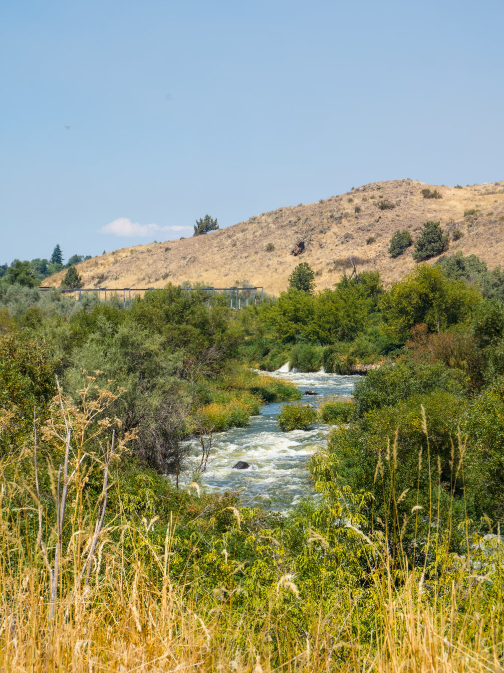
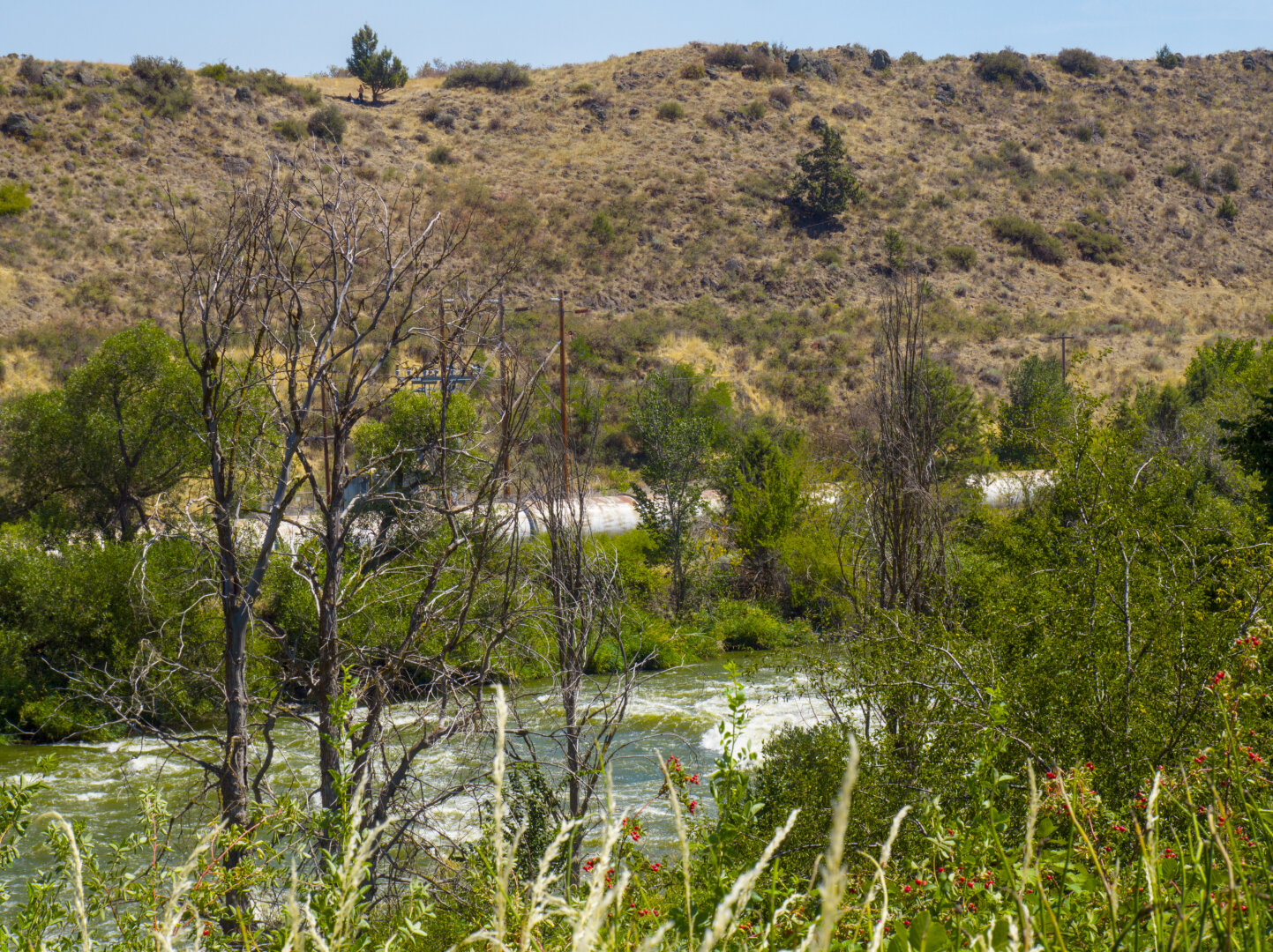
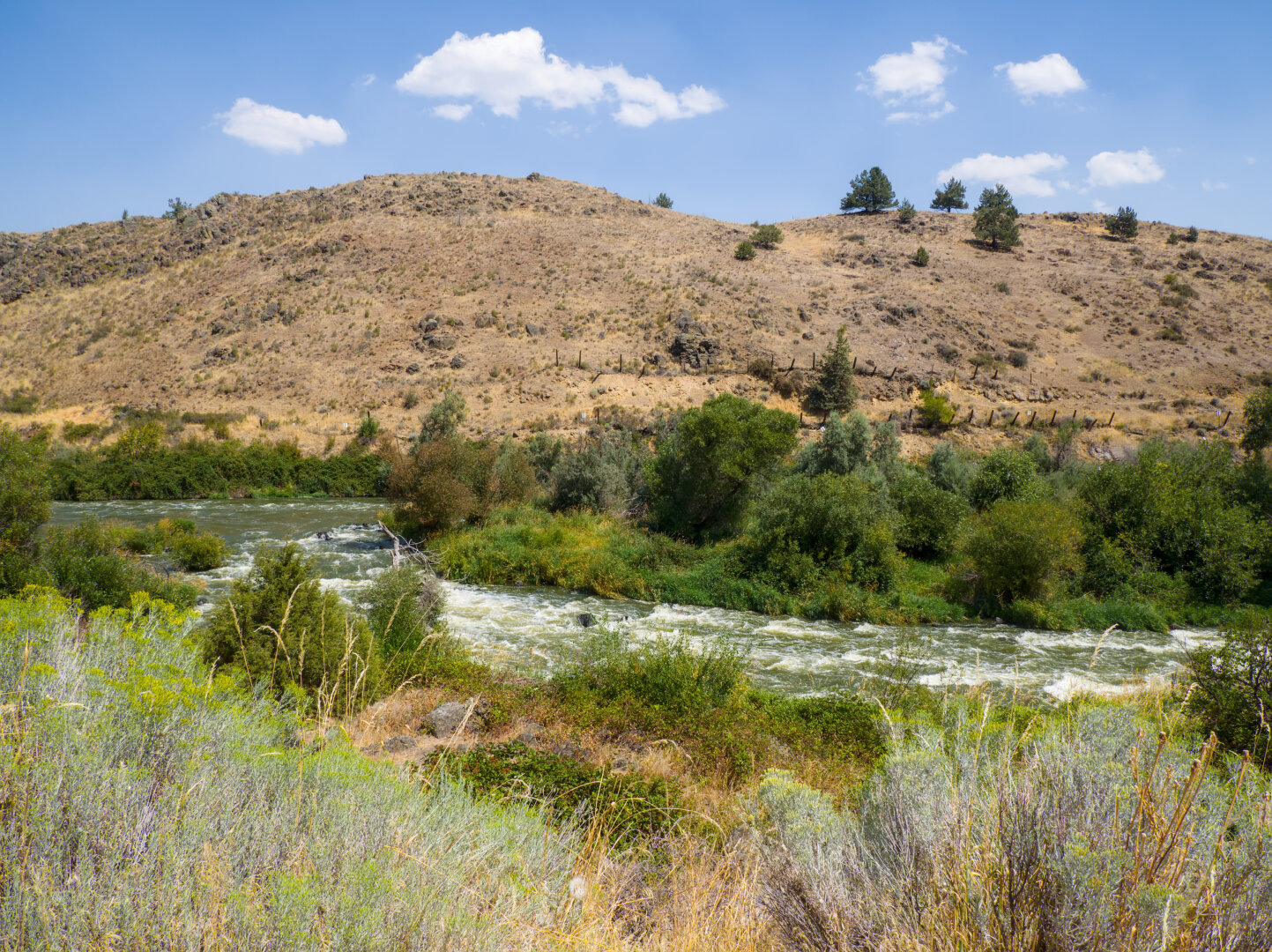
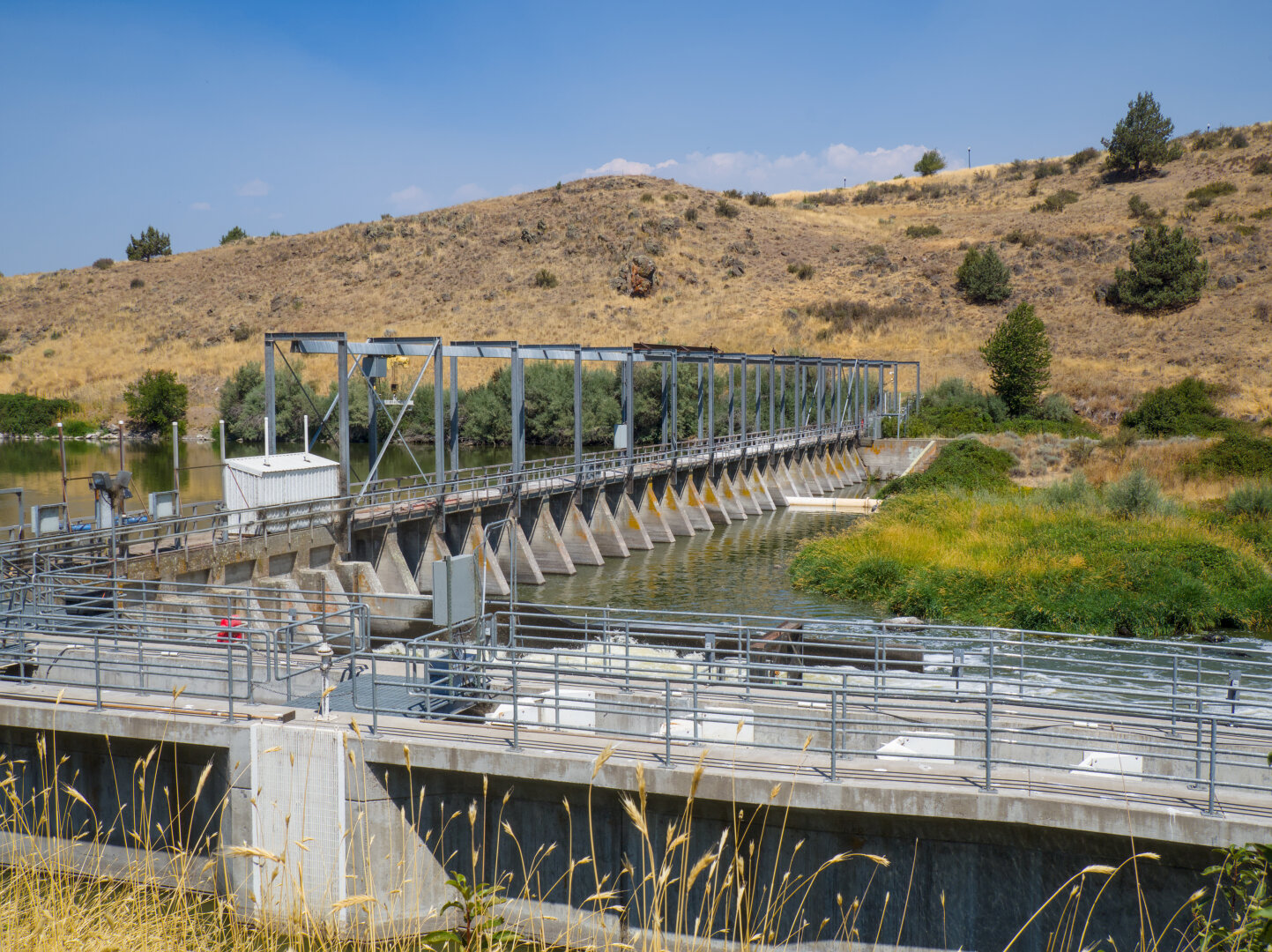
August 18: I slept in because I stayed up because the train was late and I still had to shower because I rode gravel the previous morning. I had to get up early on August 17 to pack up and to make sure to have enough time to ride gravel, in case the trail is rough (phew it wasn't). After getting enough sleep, I had brunch in downtown Klamath Falls, and rode the little gravel trail by Link River before riding the OC&E. It was HOT, but at least it was arid, as this is high desert. Just before the Link River trail, I visited the Favell Museum of indigenous art, which has artifacts of indigenous peoples not only of this region but also many other regions of the West Coast (can't take photos inside). So where are the falls of Klamath Falls? The answer is here, the rapids of Link River, which became less prominent because of the dams such as the one in the last photo. 4 other hydroelectric dams downstream were removed in recent years to restore the ecosystem.

A blue river with rapids flows in the midst of green forest, beneath an arid yellow hill. In the foreground is yellow grass. Looking through bare trees and shrubs with red berries at the rapids and the arid hill on the other side. The rapids flow around a little island covered in trees, beneath an arid hill. In the foreground are little yellow flowers. There were a few clouds in the sky. Concrete dam with steel fencing on top leading to an arid hill

#photography #landscape #darktable #river #oregon #klamath

0

Caricamento...

0
2

Caricamento...

Klamath Falls, USA