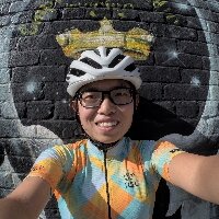
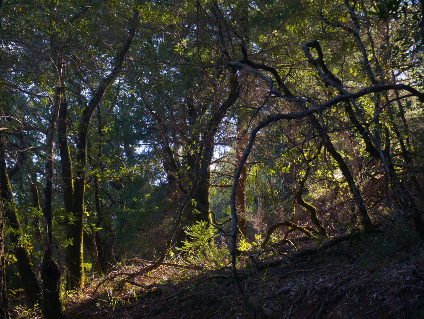
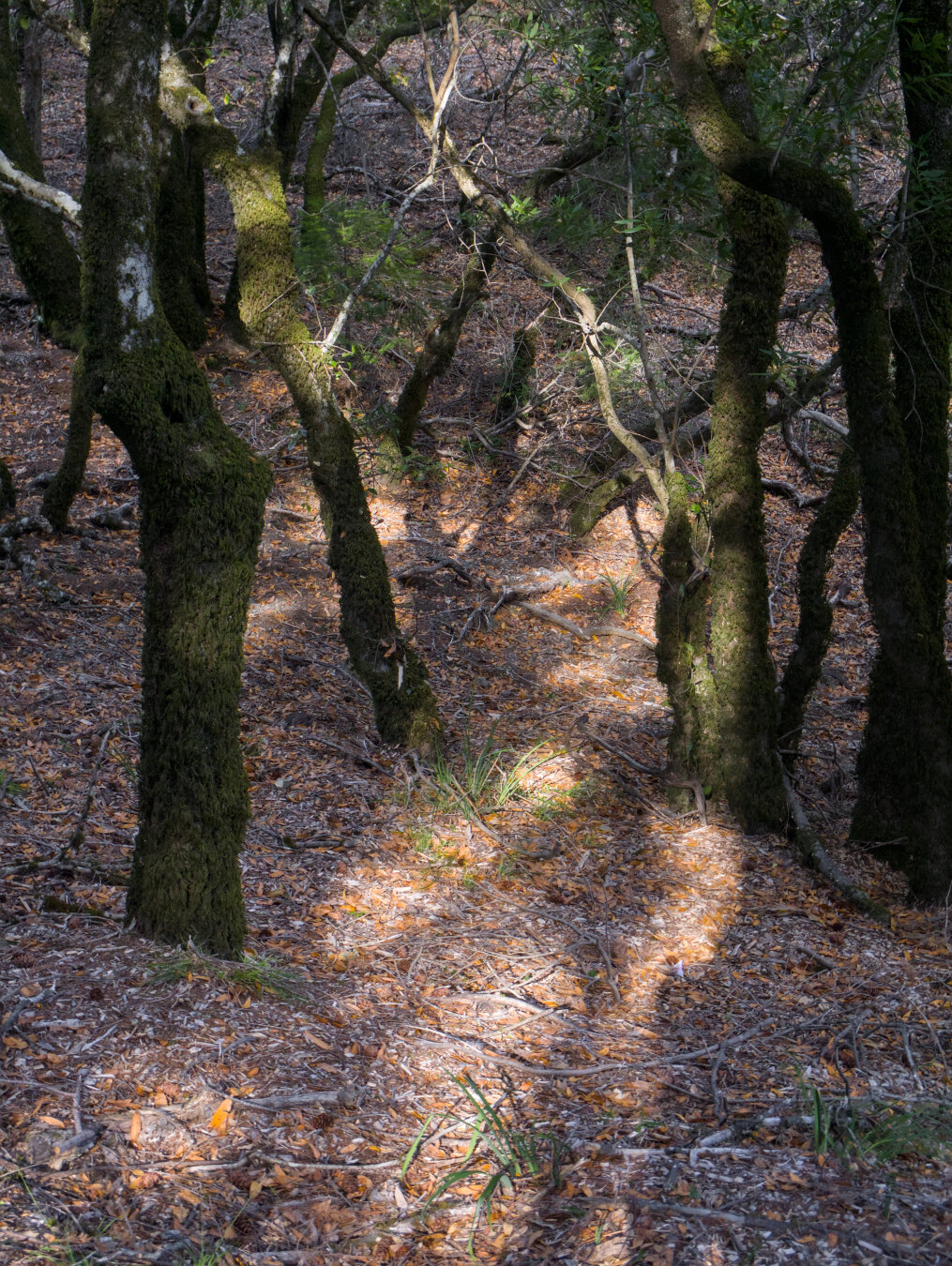
I went to SF pretty much just for Mount Tam this time. After grabbing lunch with an old friend, I did the 50 mile ride to Mount Tam. It was way hotter
Altro...
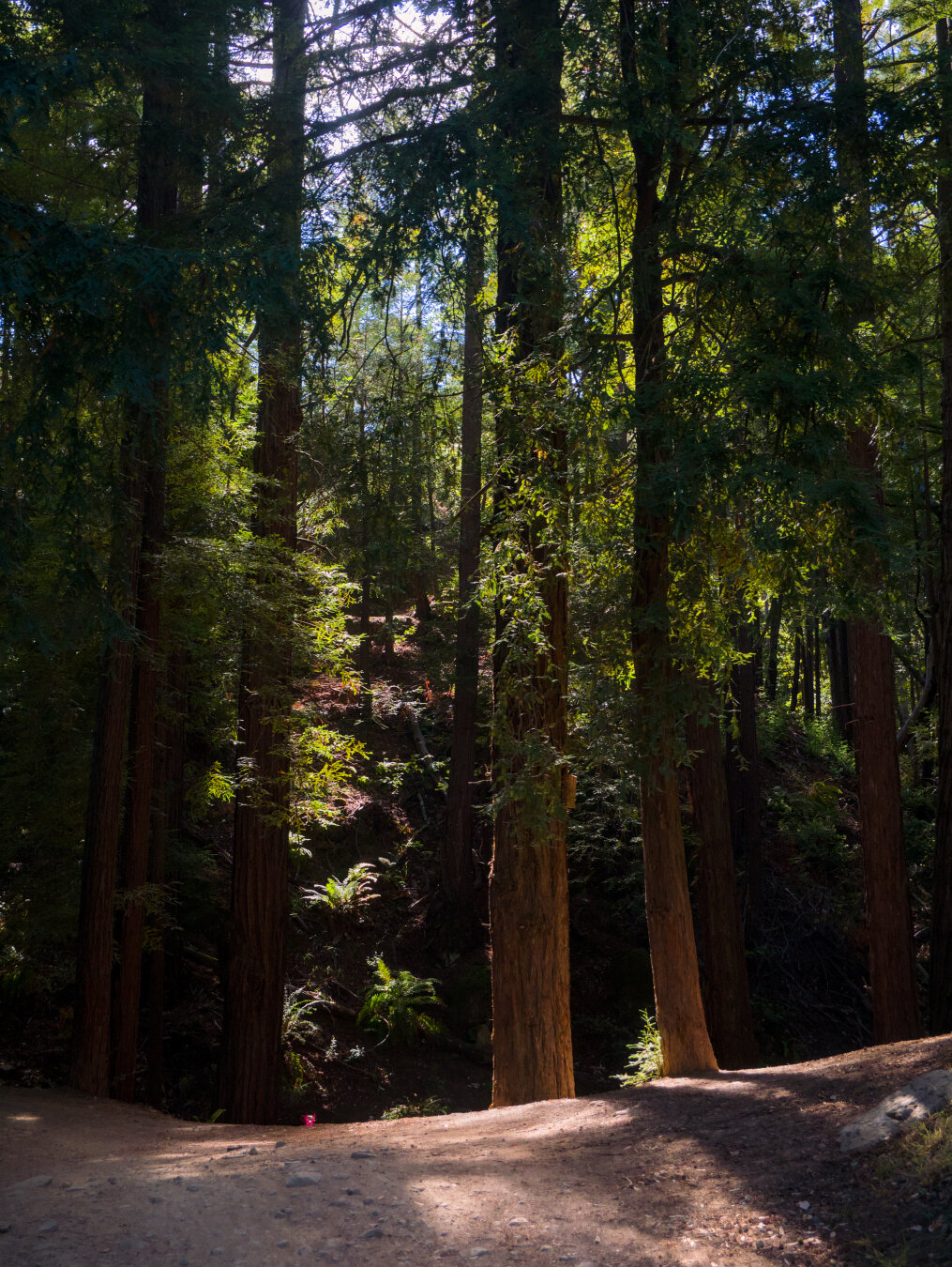
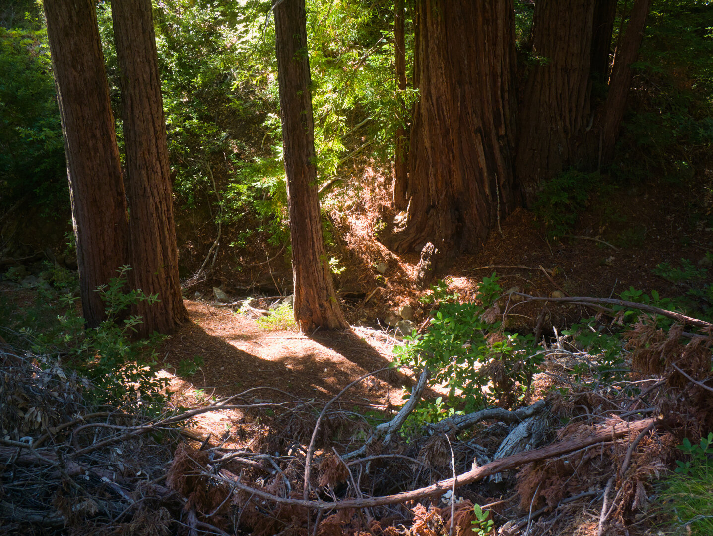
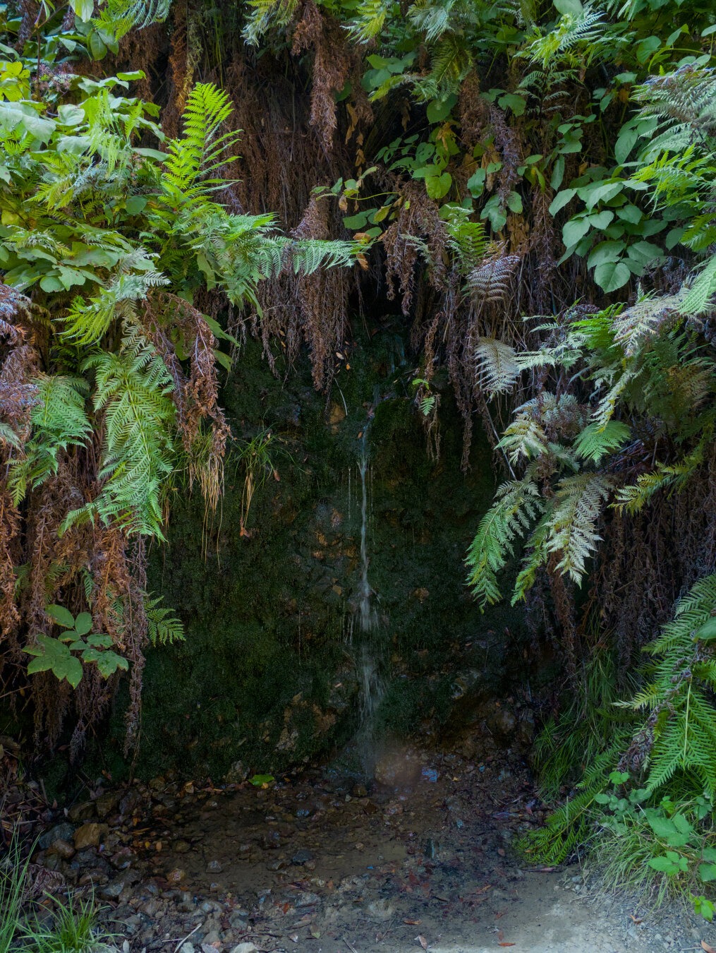
I went to SF pretty much just for Mount Tam this time. After grabbing lunch with an old friend, I did the 50 mile ride to Mount Tam. It was way hotter just slightly inland in the Marin headlands. Had to do a steep climb on the road before getting to the gravel. The gravel part: Railroad Grade, which was the route of Mt Tamalpais Railroad, which used shay locomotives to climb the 7% crooked grade. It closed because the paved roads allowed cars to get to Mount Tam. The trail was quite rocky and bumpy, so I rode slowly and walked the roughest part. #sfbayarea #marinheadlands #mttamalpais #forest #gravel #gravelbike #gravelride #railtrail #photography #darktable
#photography
#forest
#darktable
#gravel
#gravelbike
#marinheadlands
#sfbayarea
#gravelride
#railtrail
#mttamalpais
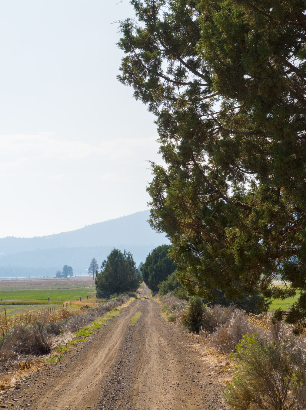
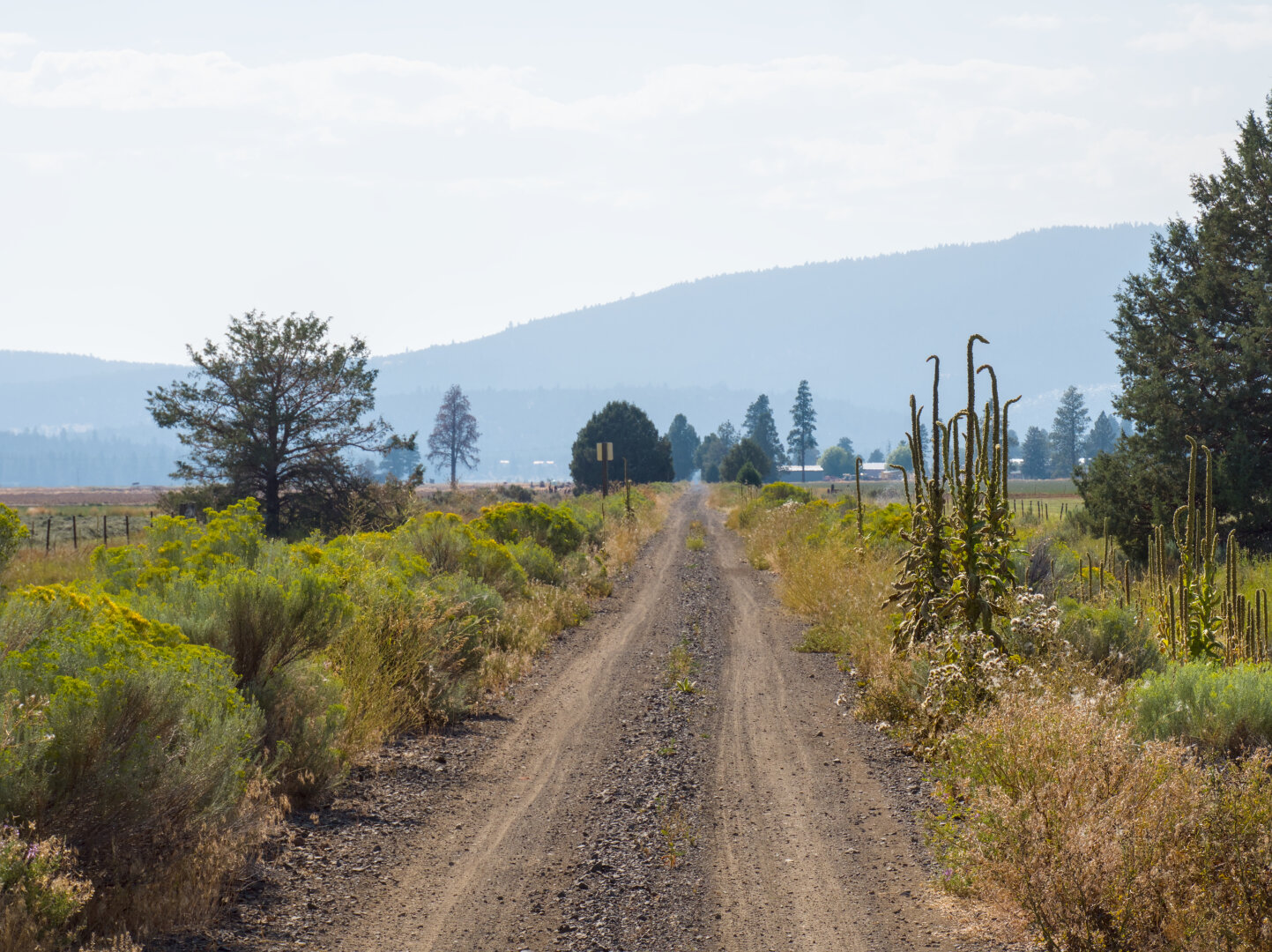
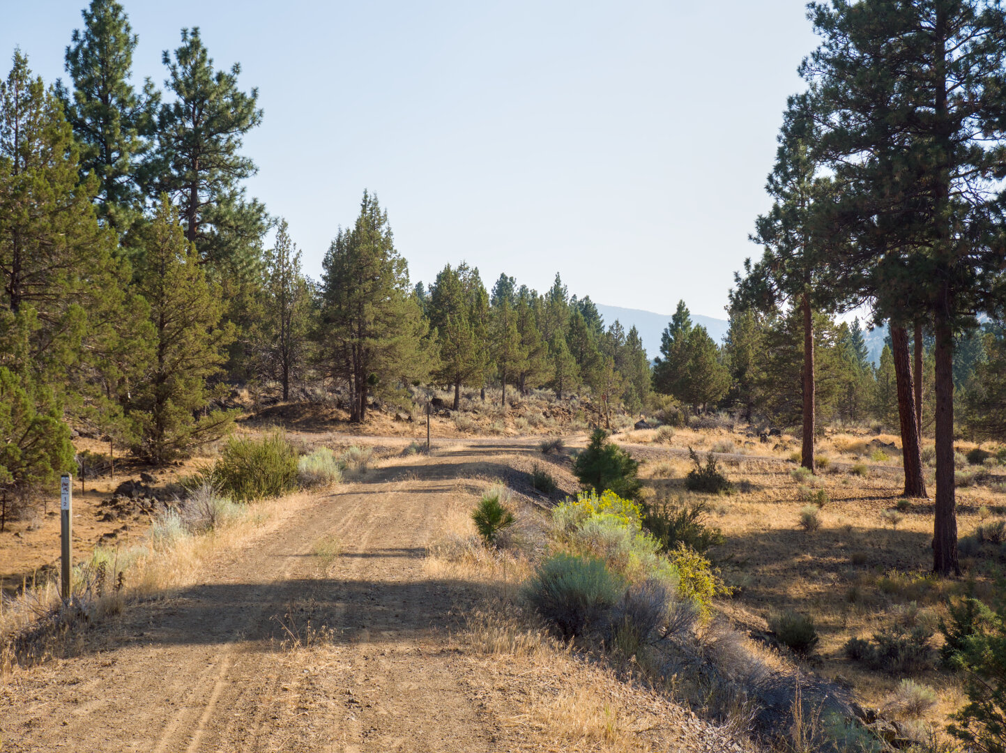
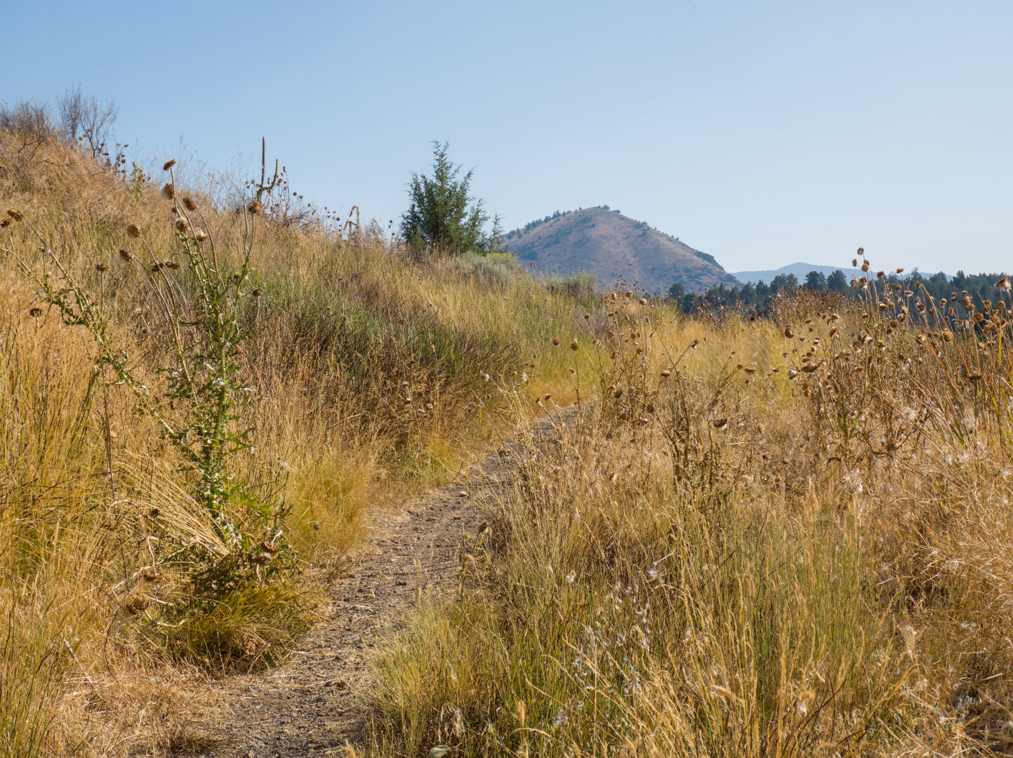
View along the OC&E trail, on my way back to downtown Klamath Falls #klamath #oregon #gravelbike #gravel #gravelride #railtrail #landscape #photograph
Altro...
#photography
#landscape
#darktable
#gravel
#gravelbike
#oregon
#gravelride
#klamath
#railtrail
As this trail was still railroad tracks in the 1980s, there are remnants of railway signs by the trail. #klamath #oregon #gravelbike #gravel #gravelri
Altro...
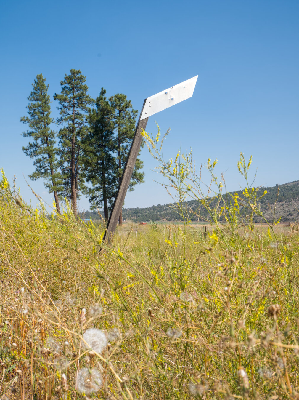
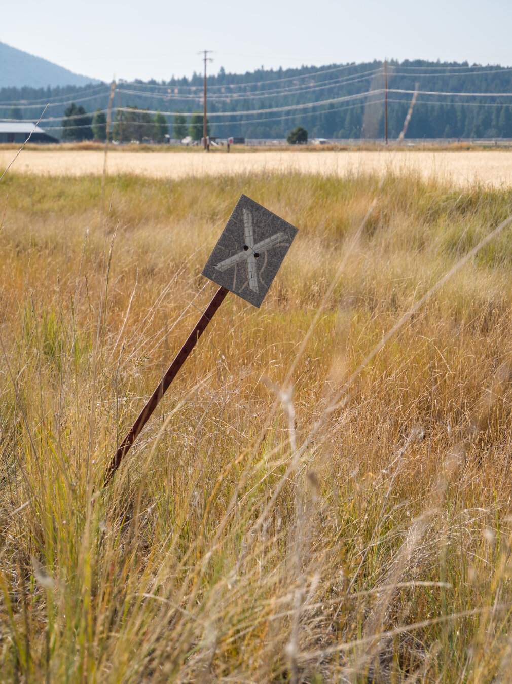
As this trail was still railroad tracks in the 1980s, there are remnants of railway signs by the trail. #klamath #oregon #gravelbike #gravel #gravelride #railtrail #landscape #photography #darktable
#photography
#landscape
#darktable
#gravel
#gravelbike
#oregon
#gravelride
#klamath
#railtrail
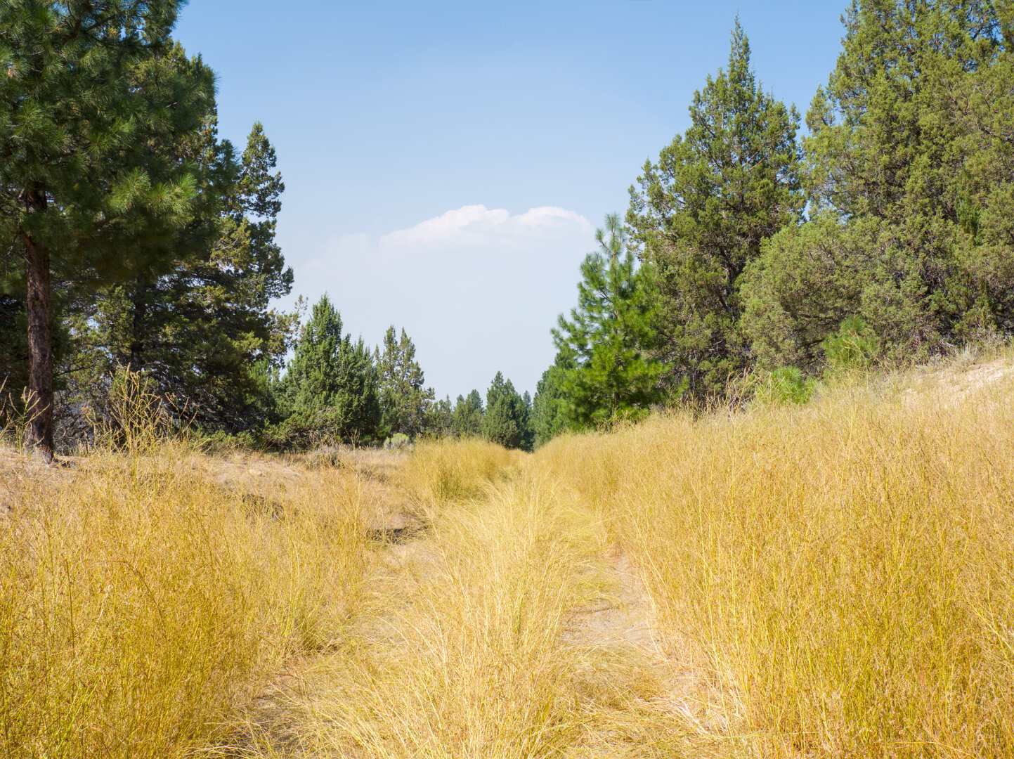
There's a short stretch of the trail that is very overgrown around the intersection with highway 140. I rode the trail out and back to Dairy. On my wa
Altro...
There's a short stretch of the trail that is very overgrown around the intersection with highway 140. I rode the trail out and back to Dairy. On my way to Dairy, I got so frustrated by the vegetation that I rode highway 140 for a mile to bypass it, not knowing how long the overgrown part is. I thought about returning to downtown Klamath Falls right away if it's too long. On my way back, I rode through the overgrown part, only to find that it's pretty short. #klamath #oregon #railtrail #gravel #outdoors #landscape #photography #darktable
#photography
#landscape
#outdoors
#darktable
#gravel
#oregon
#klamath
#railtrail
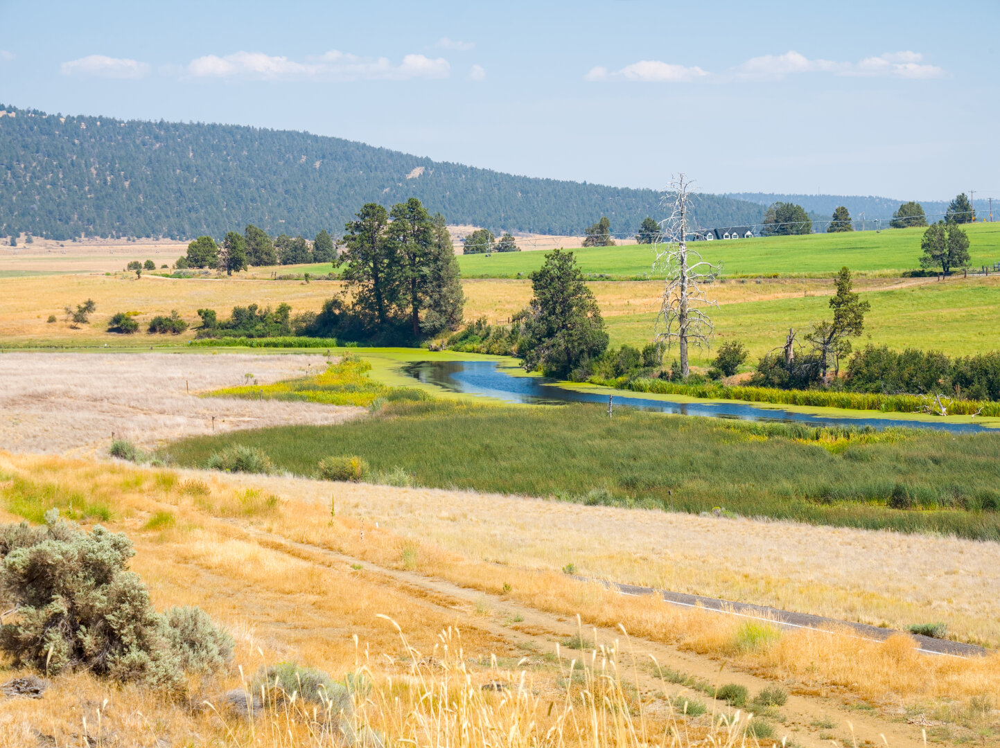
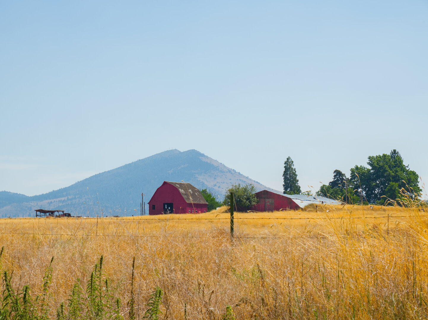
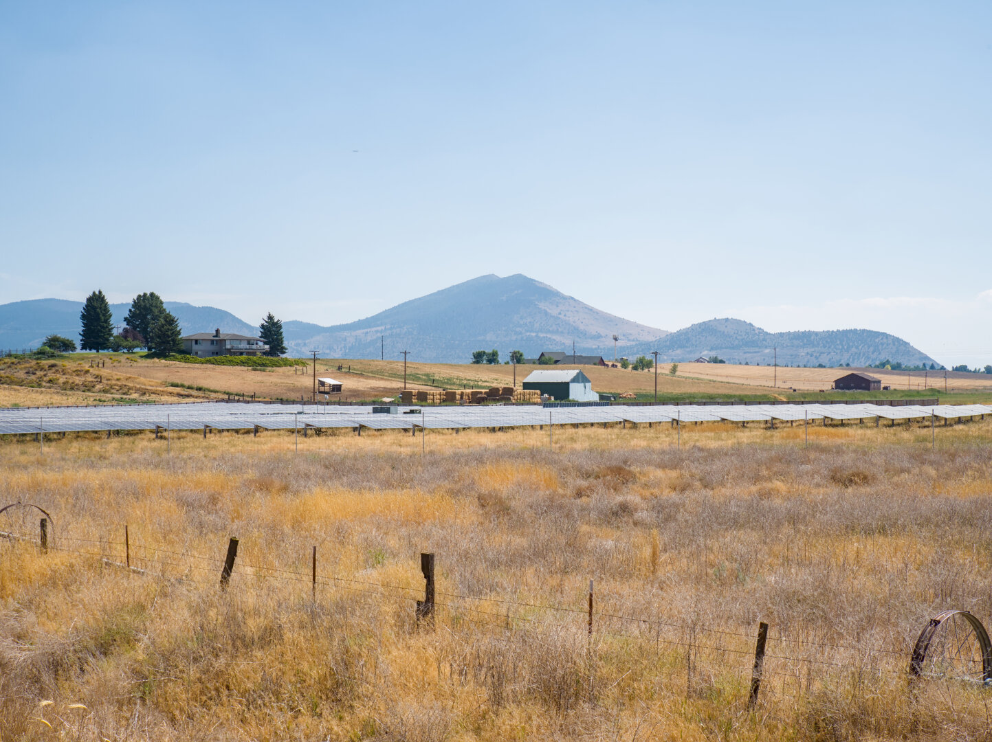
View from the OC&E trail, near where it intersects with highway 140 #klamath #oregon #railtrail #farmlands #landscape #photography #darktable
#photography
#landscape
#darktable
#oregon
#klamath
#railtrail
#farmlands
#photography
#landscape
#darktable
#river
#oregon
#klamath
#railtrail
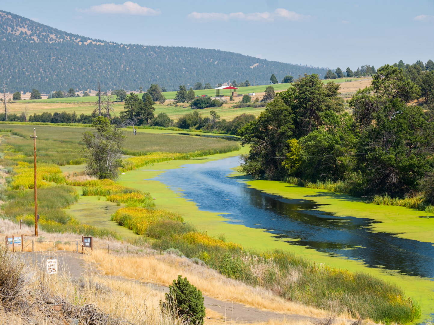
Here's where the OC&E gravel begins, Olene. The upper river is B Canal, and the lower one is Lost River (see Battle of Lost River: https://en.wikipedi
Altro...
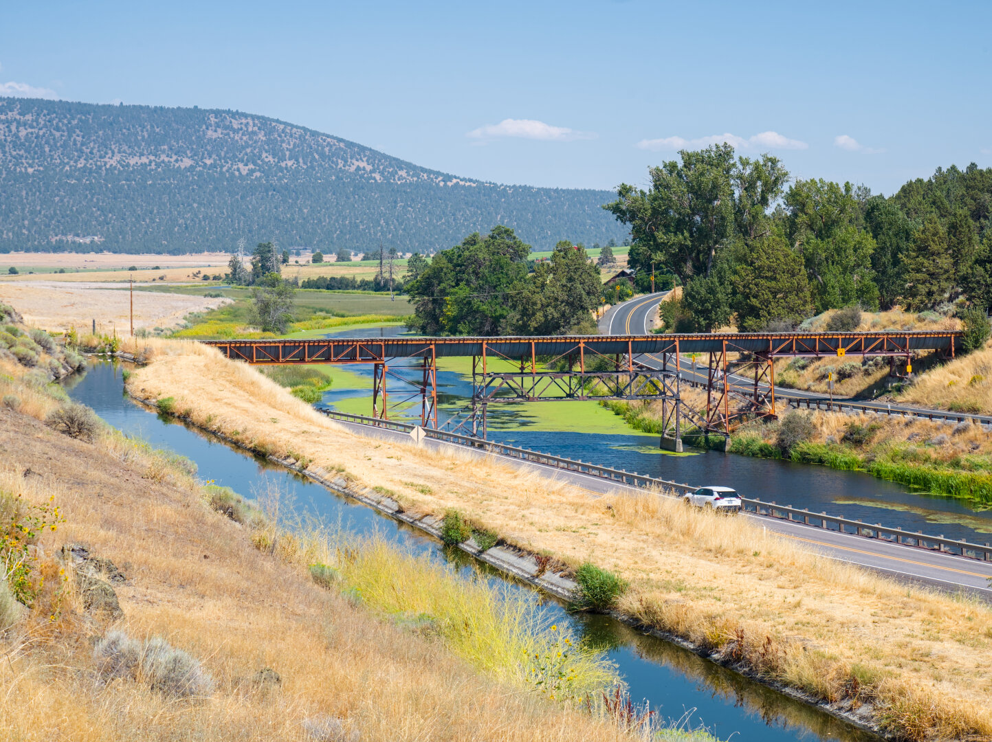
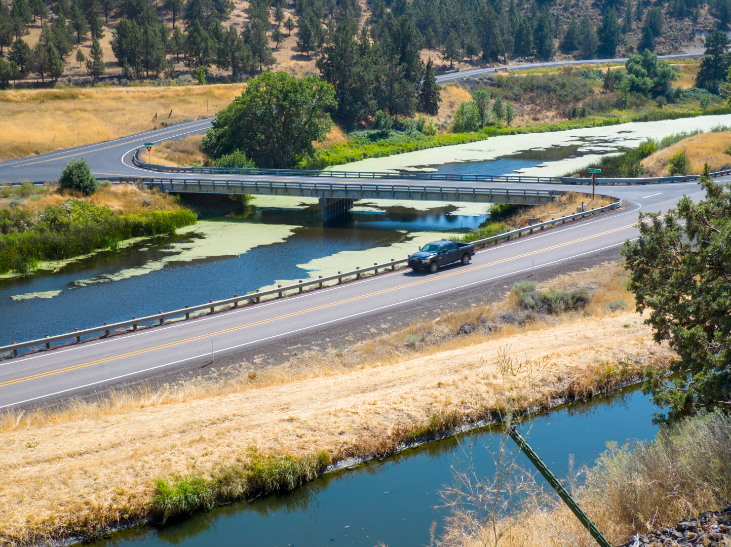
Here's where the OC&E gravel begins, Olene. The upper river is B Canal, and the lower one is Lost River (see Battle of Lost River: https://en.wikipedia.org/wiki/Battle_of_Lost_River) #klamath #oregon #river #landscape #railtrail #photography #darktable
#photography
#landscape
#darktable
#river
#oregon
#klamath
#railtrail
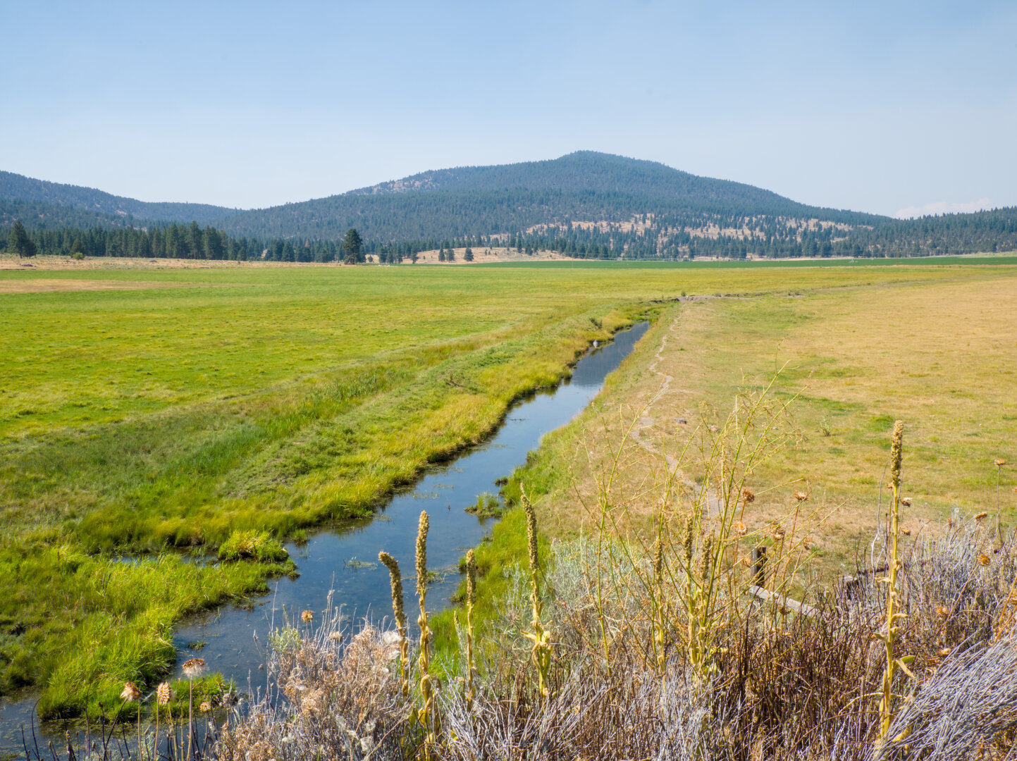
I hit one of those gaps in the pavement every 10 meters or so, so annoying. There's a little irrigation channel by the trail, branched off from B Cana
Altro...
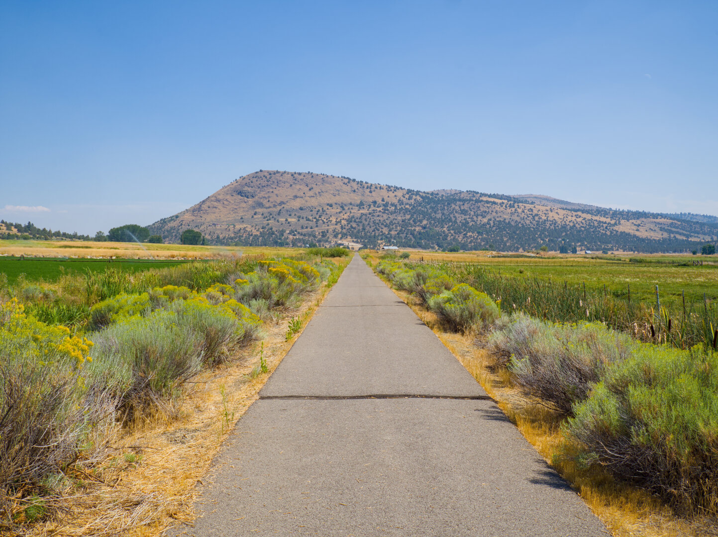
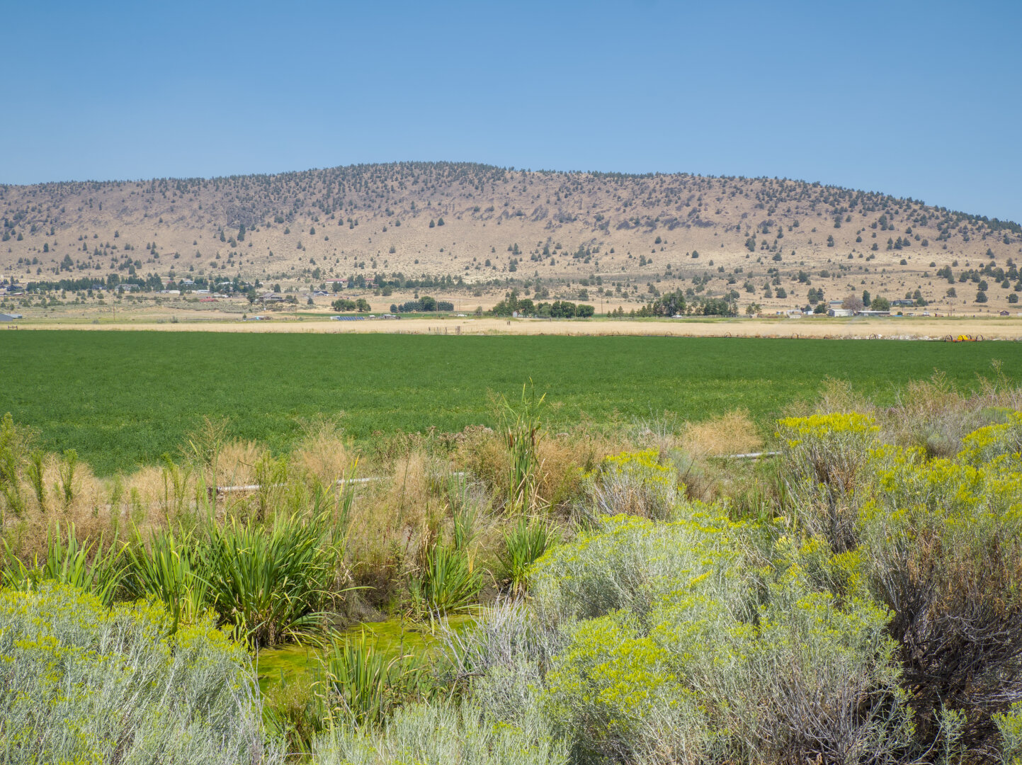
I hit one of those gaps in the pavement every 10 meters or so, so annoying. There's a little irrigation channel by the trail, branched off from B Canal. What is grown in the field? I guess alfalfa. That's it for photos from the paved part of the trail. I'll post photos from the gravel part tomorrow. #klamath #railtrail #cycling #farmland #landscape #photography #darktable #oregon
#photography
#landscape
#darktable
#cycling
#oregon
#farmland
#klamath
#railtrail
#photography
#landscape
#darktable
#klamath
#railtrail
#farmlands
Where the canal trail meets the OC&E woods line rail trail. The OC&E trail is over 100 miles long. It stands for Oregon, California, and Eastern, and
Altro...
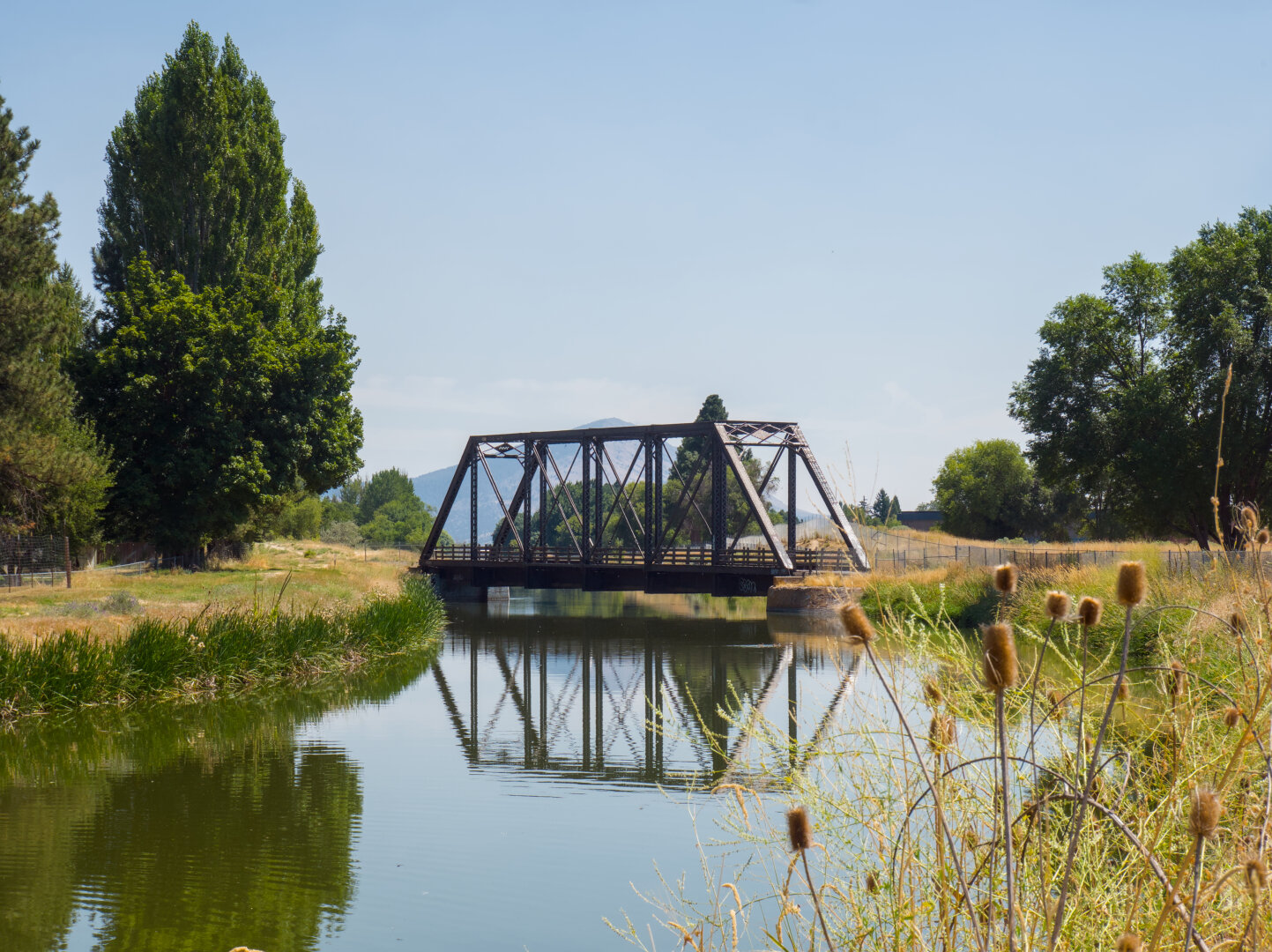
Where the canal trail meets the OC&E woods line rail trail. The OC&E trail is over 100 miles long. It stands for Oregon, California, and Eastern, and was used to transport timber. From Klamath Falls to Olene, it's paved, and the rest is gravel. I turned around at Dairy because the trail was closed due to a nearby wildfire. #klamath #oregon #canal #railtrail #landscape #photography #darktable
#photography
#landscape
#darktable
#canal
#oregon
#klamath
#railtrail